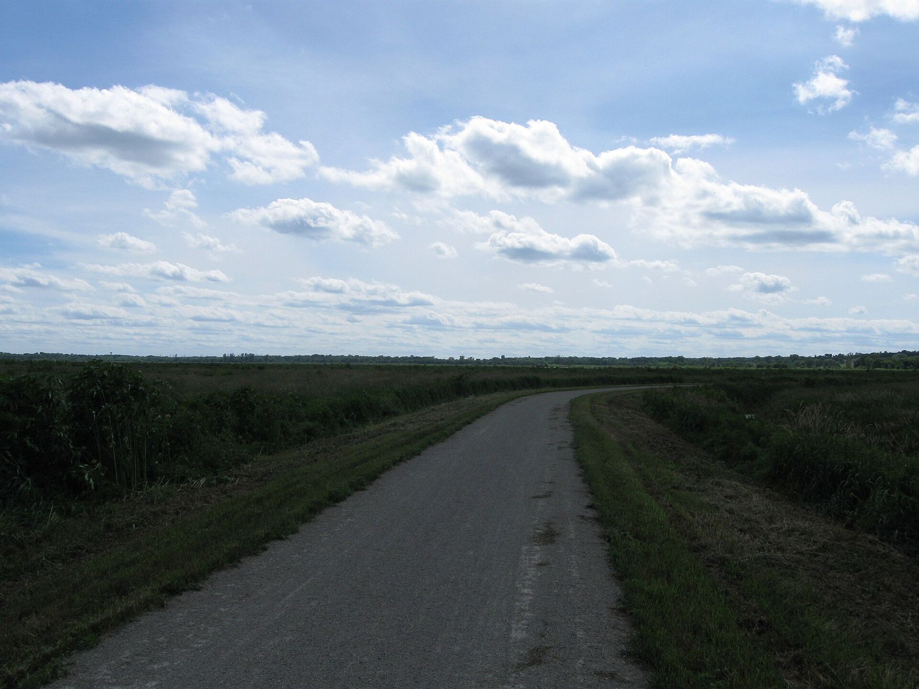
The trail is flat because the railroad needed it to be. The Glacial Drumlin State Trail follows a former rail line for roughly fifty miles across southern Wisconsin, from the Fox River in Waukesha to Cottage Grove on the edge of Madison. On a bike, the long straight grades let you watch the country change: suburbs, then kettle hills, then the wide marshes and drumlin fields of Jefferson County.
The name comes from the drumlins: long, low, rounded hills shaped by the ice like the backs of spoons, all pointing the same direction. You ride across their grain for much of the trip, so watch for the gentle swells in the fields on both sides.
The ride, east to west
- Waukesha The eastern trailhead sits close to downtown Waukesha and the Fox River. The first miles run through the edge of town and then out into open country. Parts of this end have been paved; the rest of the trail is crushed limestone, so check the current map for where the surface changes.
- Wales and Dousman The trail passes through Wales and Dousman, two small villages on the old line. Both have trailhead parking and shops close by for water and snacks. From here the trail runs along the northern edge of the Kettle Moraine, and the hills close in on either side.
- Sullivan and the farm country West of Dousman the trail crosses into Jefferson County. The country opens into dairy farms and woodlots. This is the quietest part of the ride, with long straight stretches and few road crossings.
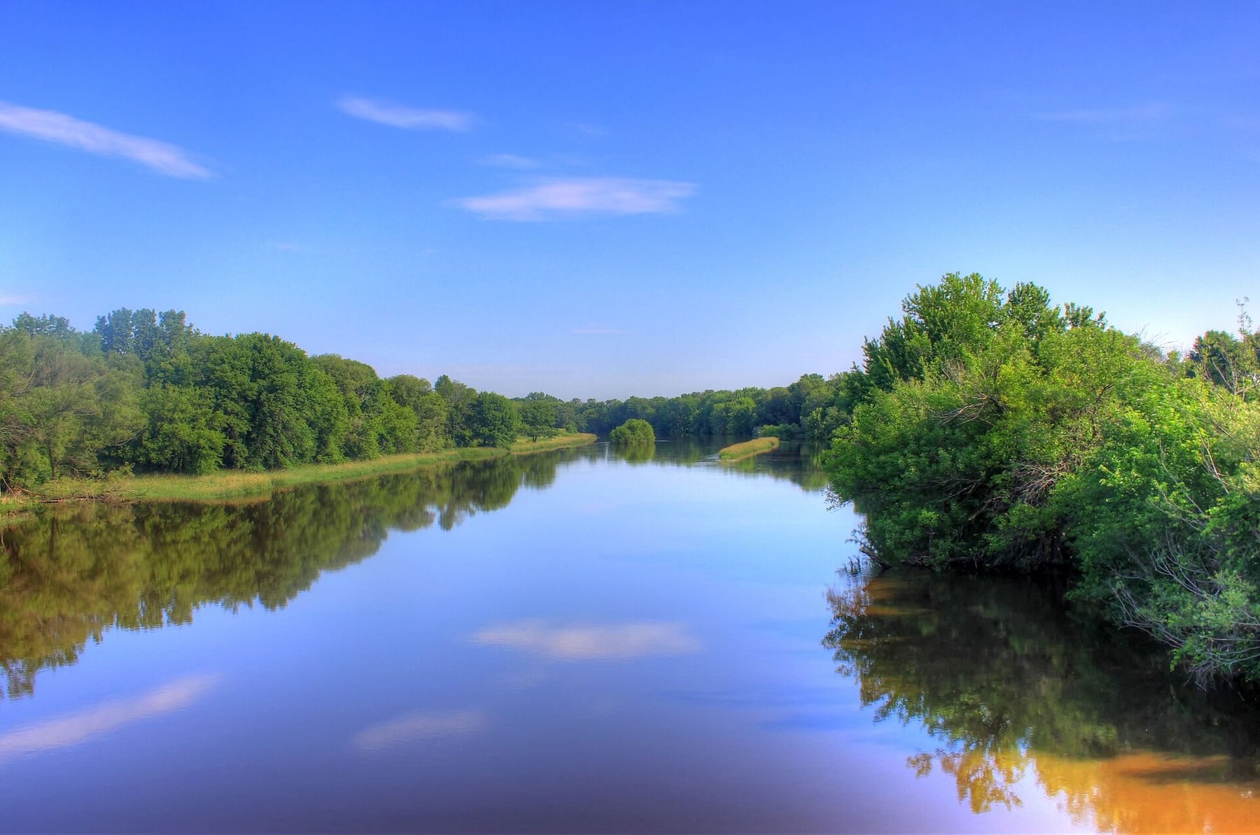
- The Rock River crossing The trail crosses the Rock River on an old railroad bridge. Stop on the deck and look downstream: the river is wide and slow here, with marsh on both banks. Herons hunt the shallows in summer.
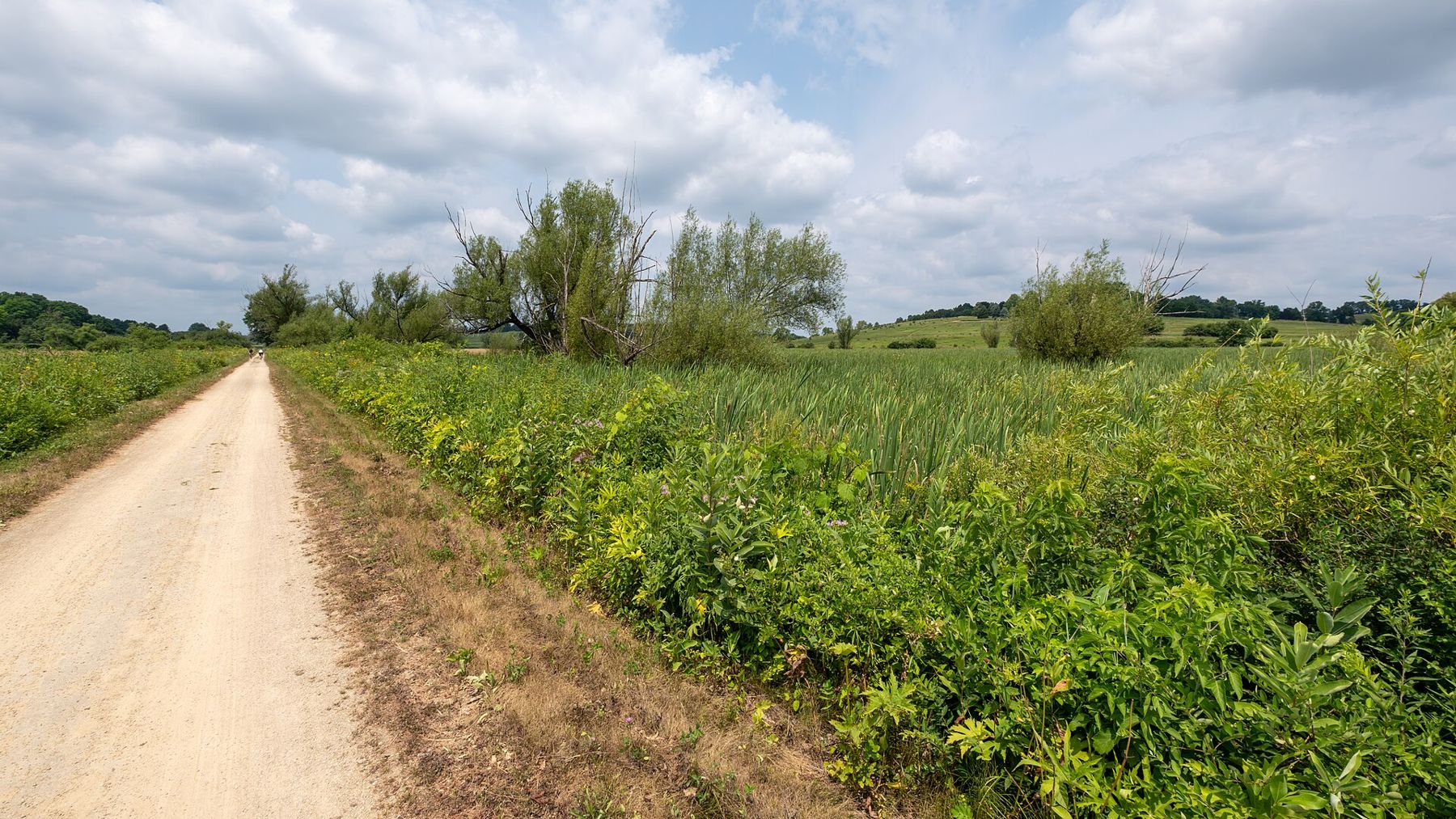
- Zeloski Marsh East of Lake Mills the trail runs along a causeway through Zeloski Marsh, a large wetland with open water, cattails and willows. Bring binoculars. Sandhill cranes, waterfowl and marsh birds are common in spring and fall.
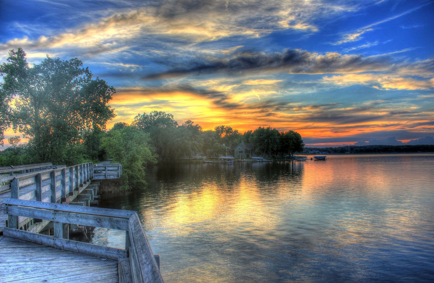
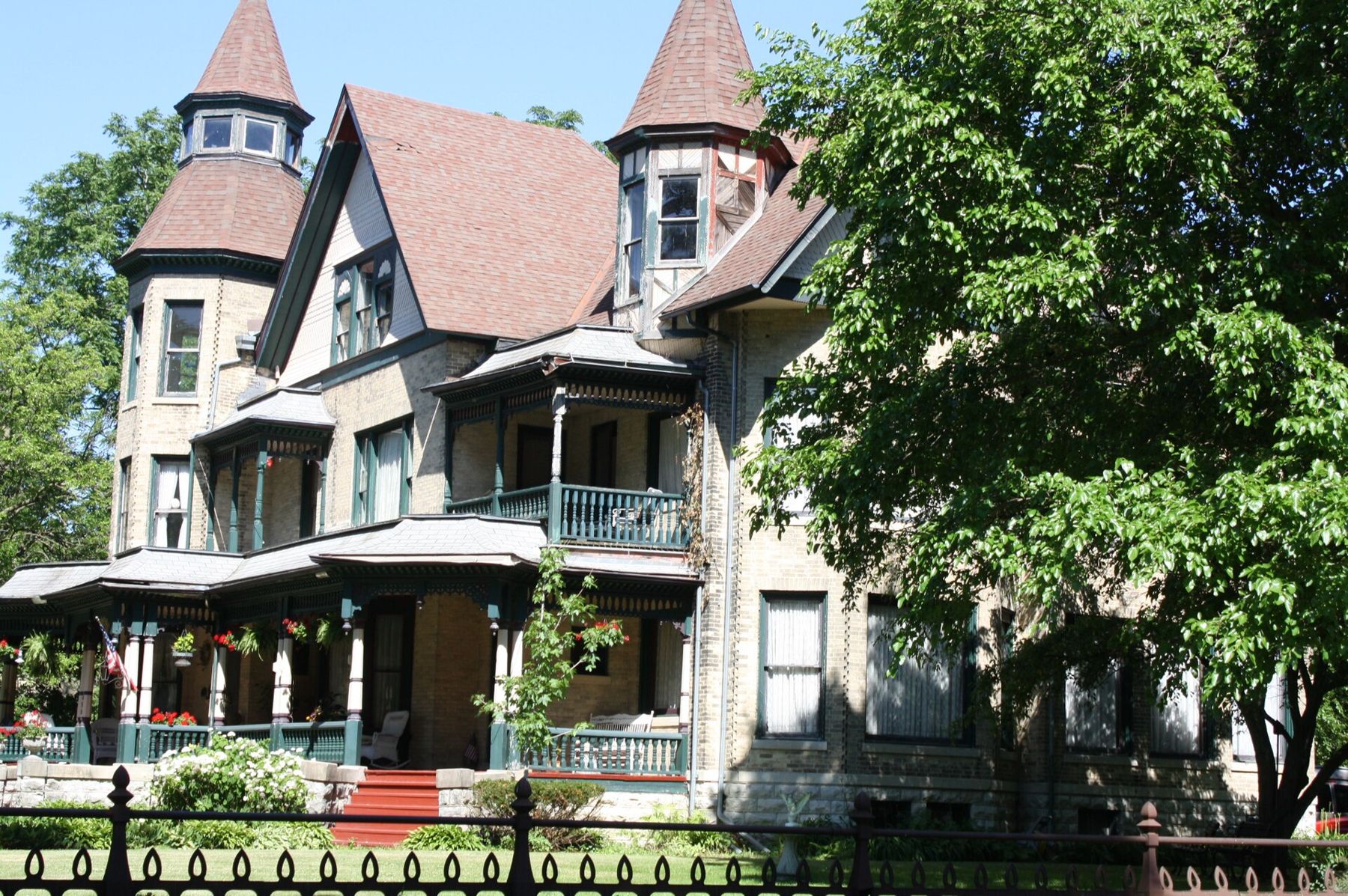
- Lake Mills and Rock Lake The trail runs right through Lake Mills, close to the shore of Rock Lake and a short ride from the town square. Lake Mills is the natural place to stop for lunch. On the way back to the trail, ride past the old houses on the streets around the square, among them the Fargo House.
- London, Deerfield and Cottage Grove West of Lake Mills the trail crosses more farmland and passes through London and Deerfield before ending at Cottage Grove, where it meets the edge of the Madison area.
Planning the ride
The full trail is a long day on a bike, and most riders do it in pieces. A good half-day out-and-back runs west from Lake Mills over the marsh or east from Dousman toward Wales. If you have two cars, leave one in Lake Mills and ride west from Dousman to meet it. The trail passes close to Aztalan State Park south of Lake Mills, a short ride off the trail on country roads.
Trailheads have parking, and many have toilets. Water is less reliable: fill up in towns. Road crossings are frequent near the towns; stop and look, because drivers do not always expect bikes.
Reading the country
Watch the land change as you ride west. Around Waukesha and Dousman, the trail threads between the steep, irregular hills of the Kettle Moraine. West of the moraine, the country flattens into broad farmland with long, low hills all lying in the same direction: the drumlins that give the trail its name. Between them sit marshes and slow rivers where water collects in the hollows the ice left behind.
Look at the fields on a low-sun evening in spring or fall. The drumlins show up as gentle swells, each one long and smooth, and you can see how the glacier moved across the land by the way they point.
Bikes and gear
A hybrid, gravel or mountain bike is the best choice for crushed limestone. Road bikes with narrow tyres will work on dry days, but they feel slow and twitchy on the softer patches. Bring a pump, a spare tube and a small repair kit: towns are spaced out, and on some stretches there is nobody around to help.
The fine limestone dust gets everywhere. Expect to clean your chain after a long ride, and wear sunglasses on dry, windy days. Carry two bottles of water in summer.
Sharing the trail
The trail is used by walkers, runners, families and cyclists. Keep right, pass on the left and call out or ring a bell before you pass. Dogs must be leashed. Near the towns, slow down for children and walkers; out in the country, you can open up.
Carry lights if there is any chance you will be out near dusk. Some stretches run through tree tunnels that get dark early, and road crossings are harder for drivers to see in low light. A rear light and a bright jacket cost little and make a real difference in October and November.
When to go
May and June bring wildflowers along the verges and birdsong in the marshes. Summer is hot on the open stretches, with little shade between towns, so start early. September and October are the best months for riding: cool air, firm limestone and colour in the hedgerows and woodlots. In winter the snowmobile sections can be busy on weekends.
Underfoot
Crushed limestone packs firm in dry weather and softens after rain. Tyres of about 35 millimetres or wider are comfortable. The grade never gets steep, but a headwind across the open marshes is its own kind of hill. Mark your mileage at each town sign so you know how far back you have to ride.
For the rest of the Jefferson County country, see our page on Fort Atkinson, a short drive south. When you reach the Rock River again on the way back, stop for one more look downstream.