Ten minutes north of Eagle, County ZZ drops off Highway 67 and runs west along the edge of the forest. Watch for the brown sign. The lot sits at the top of a rise, and on a still morning you can smell the pine before you open the car door.
The Scuppernong Trails are a set of nested, colour-coded loops built for cross-country skiing and walked by hikers the rest of the year. They are wide, well signed and gentle compared with the rockier trail systems farther south, which makes them a good first walk in the Southern Kettle Moraine. Each loop starts and ends at the same trailhead, and the longer loops share their first stretch with the shorter ones, so you can decide how far to go when you reach the first junction.
A walk around the outer loop
- The map board Start at the board at the edge of the lot. Read the colours: each loop is marked by posts of the same colour at every junction, and the numbered junctions on the posts match the map. Take a photograph of the board if you have no paper map. Walk the loops in the direction of the arrows; in winter that is the direction the skiers travel.
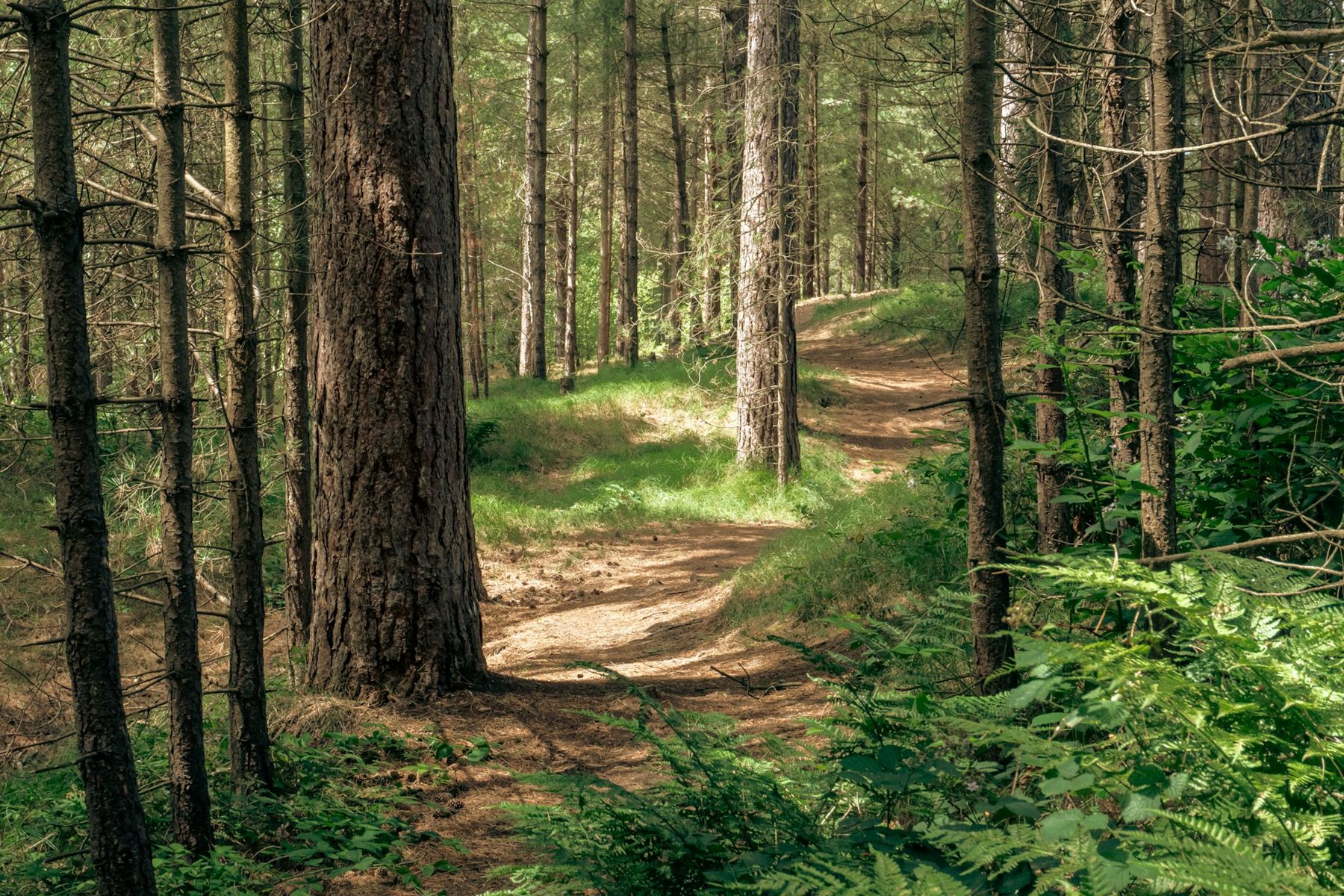
- The pine plantations The first mile runs through straight rows of red and white pine planted when this land was being turned back from worn-out farm fields into forest. The rows are obvious once you notice them. The floor is soft with needles and almost free of undergrowth, and sound carries a long way between the trunks.
- The overlook On the longer loops the trail climbs onto a high shoulder of the moraine with a bench and a view out over the treetops. It is the best place to stop. In fall the oaks in the low ground below go copper and the planted pines around you stay green.
- The Ice Age Trail junction Partway round, the yellow blazes of the Ice Age Trail come in and share the tread for a while. If you want a longer day, follow the yellow blazes south; otherwise keep to your colour. The junction posts tell you which is which.
- Oak woods and kettles The back half of the outer loop leaves the plantations for mixed oak, hickory and cherry and dips around several kettles. The climbs here are short but real, and the descents can be fast in winter. Take your time on the loose gravel.
- Back to the lot The last stretch rejoins the shorter loops and brings you back through the pines to the parking area. There are toilets at the trailhead but no drinking water, so bring your own.
The river and the springs
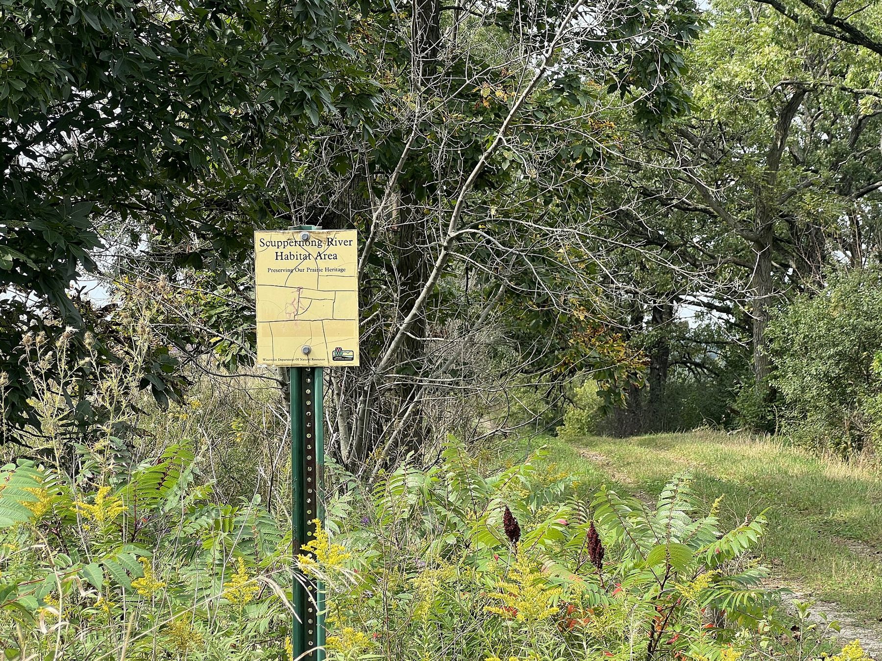
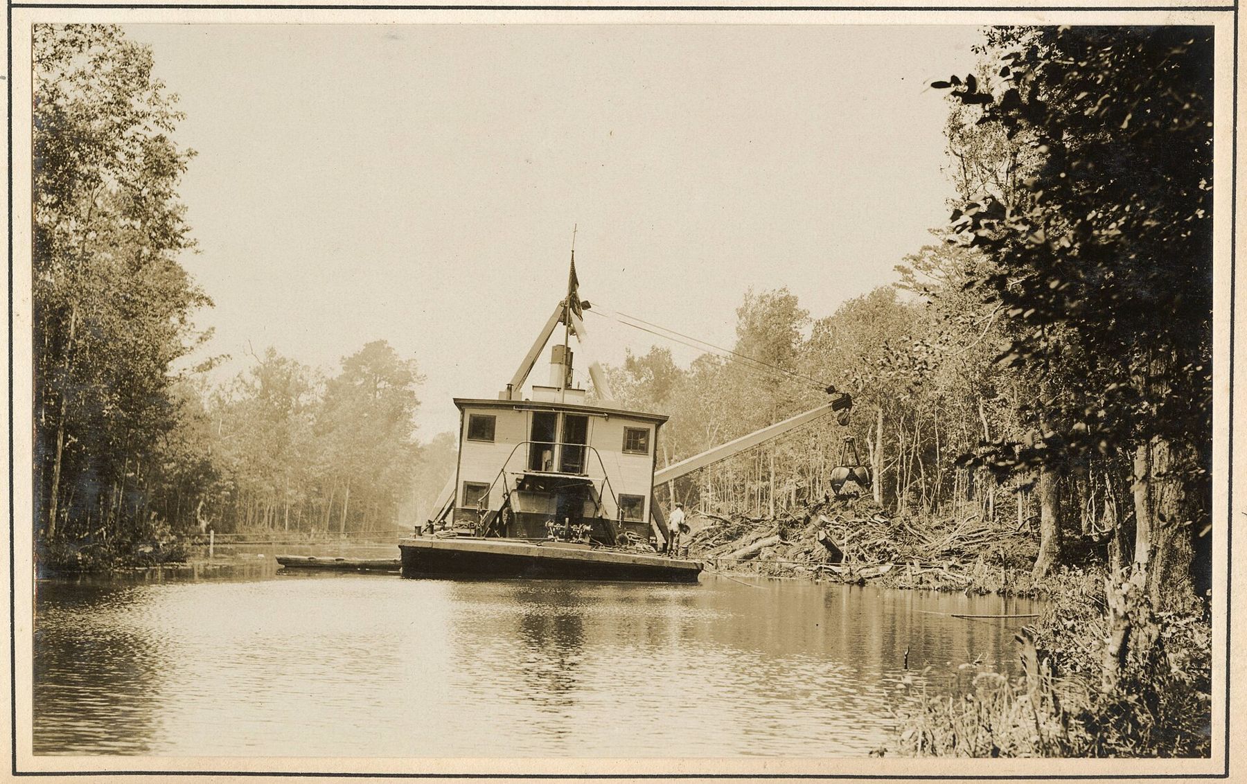
The Scuppernong River rises in springs in the low ground west of the trailhead and runs through sedge meadow and marsh. Much of that wet ground was ditched and drained in the past for farming and for marl, a lime-rich mud dug from spring-fed basins and burned or spread on fields. Today the state manages a large area of it for wildlife and prairie restoration; the yellow sign at the entrance says it plainly: preserving our prairie heritage.
Close by, also reached from County ZZ, the Scuppernong Springs Nature Trail follows boardwalks past bubbling springs, old marl pits and the foundations of buildings from the marsh's working years. It is flat and quiet, and it pairs well with a morning on the loops. Bring binoculars: sandhill cranes nest in the marsh and you will hear them long before you see them. For more on the wet country here, read Paradise Springs and the Ice Age Trail.
When to go
Late September to early November is the best walking. The ground is dry, the insects are gone and the low sun comes in sideways between the pines. May is good for birds in the plantations and wildflowers on the oak slopes, but the marsh edges are buggy by June. In winter the loops are groomed for classic and skate skiing, and hikers are expected to keep off; read cross-country skiing in the Kettle Moraine if you want to ski them. Snowshoers should look for signed routes rather than breaking a line beside the ski tracks.
Underfoot
The ski loops are wide, mown in summer and mostly sand and packed soil. They drain well and stay walkable after rain, except in the lowest corners. The pine stretches are flat and easy; the oak stretches are hilly. Running shoes are fine from May to October. Ticks are common in the grassy edges, so tuck in your trouser legs and check yourself afterwards.
How long it takes
Most people walk two to two and a half miles an hour on these loops, a little slower on the hilly back half. Allow about an hour for the shortest loop with a stop in the pines, and half a day for the outer loop with a break at the overlook. If you add the springs trail, budget another hour and a short drive.
Dogs are welcome on the loops in summer and fall on a leash no longer than eight feet. Carry bags out. In winter, once grooming starts, dogs are not allowed on the ski trails, so plan a different walk; our page on hiking with dogs in the Kettle Moraine lists options.
Hunting is allowed in parts of the state forest in fall. During the November gun deer season, wear something blaze orange, even on the loops, and check the forest's hunting maps before you go.
The loops are also a good place to learn the Kettle Moraine's shape before you tackle the longer trails farther south. From the overlook, pick out the ridges and the low ground between them; you will walk across the same pattern again and again on the Ice Age Trail toward Eagle and beyond.
If you only have an hour, walk the shortest loop, sit on the first bench you find in the pines and listen. With no wind, the only sound is a nuthatch working down a trunk somewhere ahead of you.