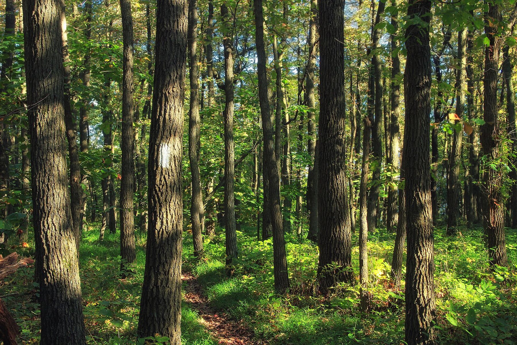
Stand at the crossroads in Eagle, where Highway 59 meets Highway 67, and you are only minutes from more good short walks than most counties have. The Southern Unit of the Kettle Moraine State Forest wraps around the village, and the ground changes quickly: spring-fed ponds at the foot of gravel hills, marsh that steams on cold mornings, broad bur oaks standing in prairie grass, and pine plantations set out in straight rows.
Each walk below takes under an hour on foot. String two together for a morning, or fit one into a drive through. Trail layouts, closures and fees change from year to year, so check before you go.
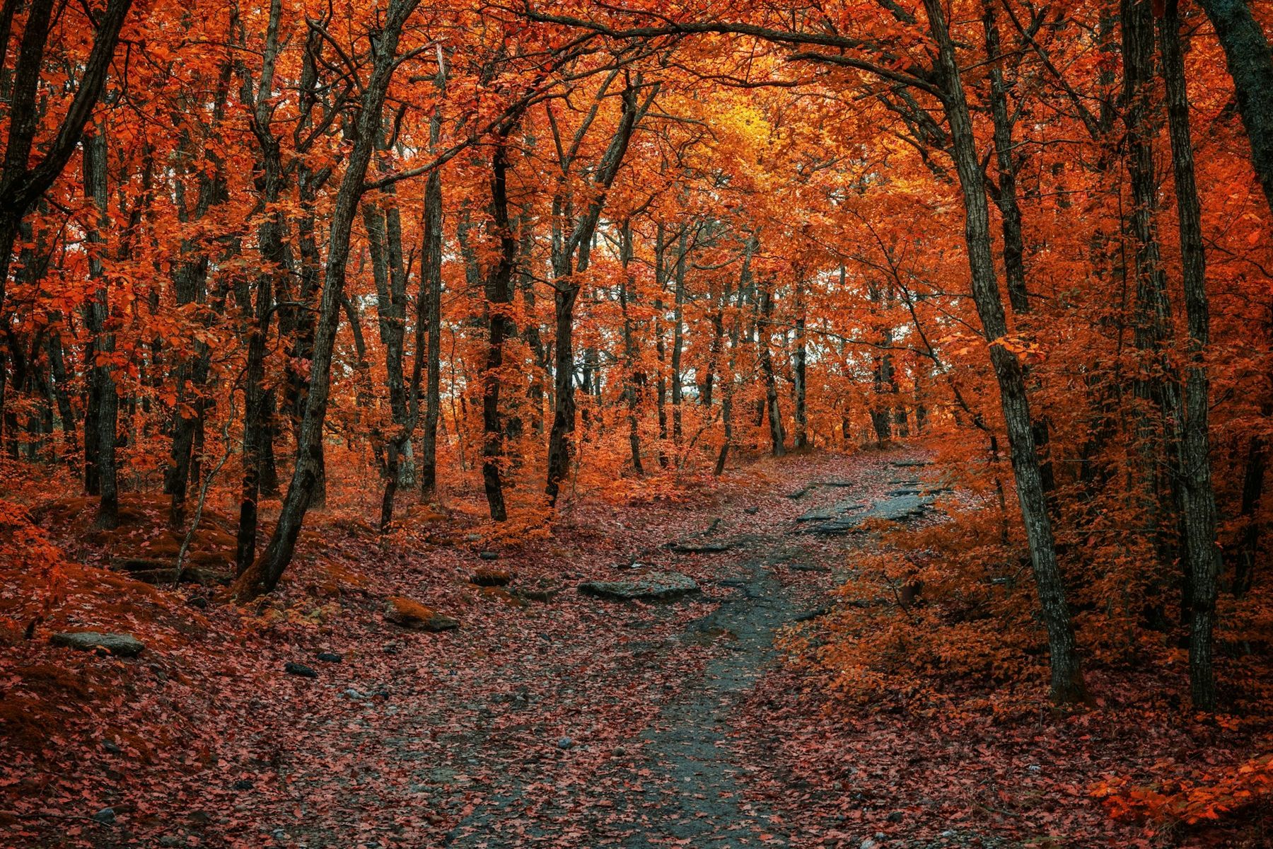
Six short walks
Paradise Springs
North of Eagle, a paved loop of about half a mile circles a spring-fed pond. Cold water rises out of the gravel at an old springhouse, left from the days when this ground was a private estate, and runs out of the pond as a clear stream. Twenty minutes is plenty, even at a stroll. It is the flattest walk on this list and the only paved one. Our page on Paradise Springs and the Ice Age Trail covers the longer walk that starts nearby.
Scuppernong Springs Nature Trail
Northwest of Eagle, reached from County ZZ, this trail follows boardwalks and packed paths through the marsh where the Scuppernong River begins. You pass bubbling springs, the straight-edged pits where marl was once dug, and the foundations of buildings from the marsh's working years. Allow about an hour with stops. The boards are slick when wet or frosty, so walk them carefully in spring and fall. In April and May, listen for sandhill cranes calling across the open meadow.
The Scuppernong pines
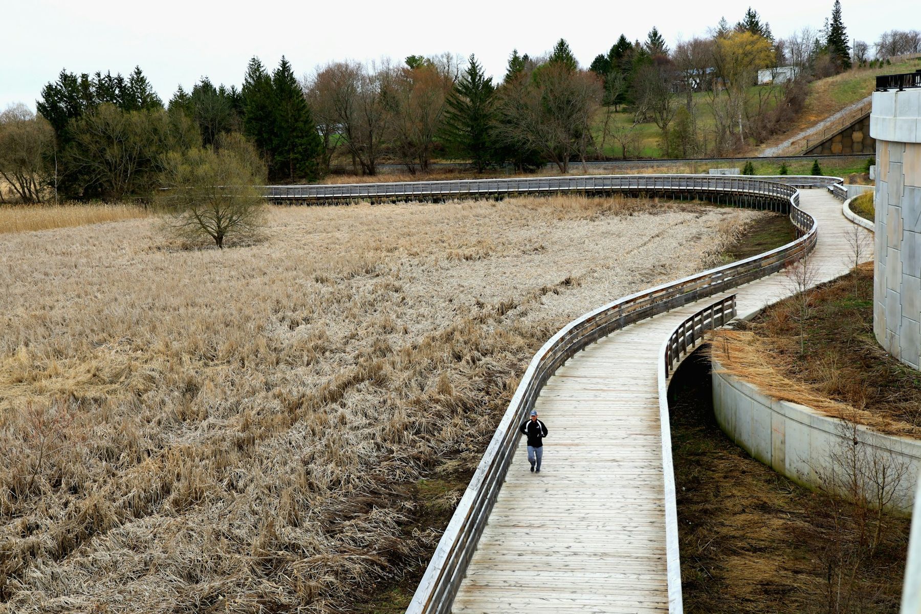
The trailhead for the Scuppernong trails is on County ZZ too, on top of a rise. The shortest of its colour-coded loops runs mostly through planted red and white pine, with a soft floor of needles and almost no undergrowth, and takes about an hour. Follow your colour and the arrows at each numbered junction. Once snow falls and grooming starts, the loops belong to skiers, so walk somewhere else in winter.
Eagle Oak Opening
The state natural area near the village protects broad, open-grown bur oaks standing in prairie grass, the kind of savanna that once covered much of southern Wisconsin. Expect no marked trail, only a roadside pull-off and a boundary sign. Get current directions before you go, keep to any mown lines you find, and step around the flowers rather than through them. Half an hour is enough to find the biggest oak and stand under its limbs. Read Eagle Oak Opening for what to look for.
Ottawa Lake
North of Eagle on Highway 67, toward Dousman, the Ottawa Lake Recreation Area sets a campground, picnic area and sand beach around a small lake with no gas motors. Park at the picnic area early in the morning and walk the shore by the beach and the boat landing while the water is still and herons work the shallows. Check the map board at the entrance for the short paths that link the shore with the woods above it.
Old World Wisconsin
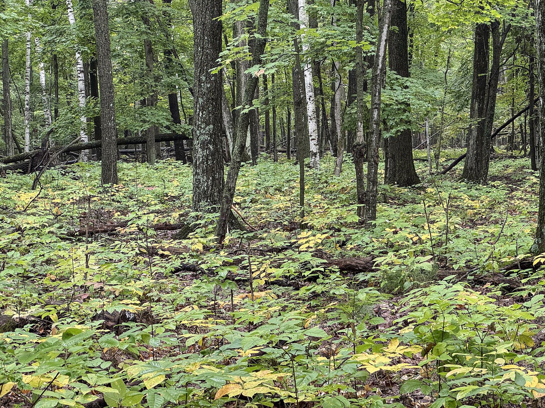
A mile or two south of Eagle on Highway 67, the Old World Wisconsin museum spreads historic farmsteads across wooded hills and open fields. It is a ticketed museum with a seasonal schedule, not a free trail. If you are visiting anyway, walk the gravel lanes rather than waiting for the tram: they cross real moraine country, and a loop from the entrance through Crossroads Village and back takes well under an hour.
How to arrive and park
Eagle sits where Highway 59 and Highway 67 cross in southwestern Waukesha County. From Milwaukee, take Interstate 94 west and Highway 67 south through Dousman, or follow Highway 59 west from Waukesha. From the south, Highway 67 comes up from Elkhorn.
Stop first at the Southern Unit forest headquarters on Highway 59, just west of the village, for a paper map, current trail news and a vehicle admission sticker if the office is open. Most state forest lots require one, and Old World Wisconsin charges its own admission. Park only in marked lots. The county roads are narrow, with blind crests and little shoulder, and a car pulled half onto the verge is a hazard.
The village has gas, groceries and places to eat. Our page on Eagle describes it.
When to walk them
Each walk has its season. Paradise Springs and the Scuppernong Springs trail are at their best on a cold, still morning, when mist lifts off the open water and the rest of the marsh is frozen. April and May bring cranes and warblers to the wet ground. The oak opening peaks in July and August, with prairie flowers waist high, and again in late October, when low light shows the spread of the oak limbs. The Scuppernong pines are good in any month you can walk them and quietest on a September weekday. Ottawa Lake is best at first light in June or September. Old World Wisconsin keeps its own season, from late spring into autumn, so check its dates.
Hunting is allowed in parts of the state forest in the fall. During the November gun deer season, wear blaze orange even for a short walk, and check the forest's current hunting maps.
What to carry
- Water, even for half an hour. Few trailheads have a tap.
- Insect repellent from late May through August, especially near the marsh.
- Shoes with grip for the boardwalks, which are slick in rain and frost.
- Binoculars for cranes, herons and bluebirds.
- A short leash if your dog comes. Rules differ by place, and dogs are kept off swimming beaches and, in winter, off groomed ski trails.
Pick one walk, not six. Drive to Paradise Springs on a still morning, walk the loop once, then stand by the springhouse and watch the stream run out of the pond, clear over the gravel.