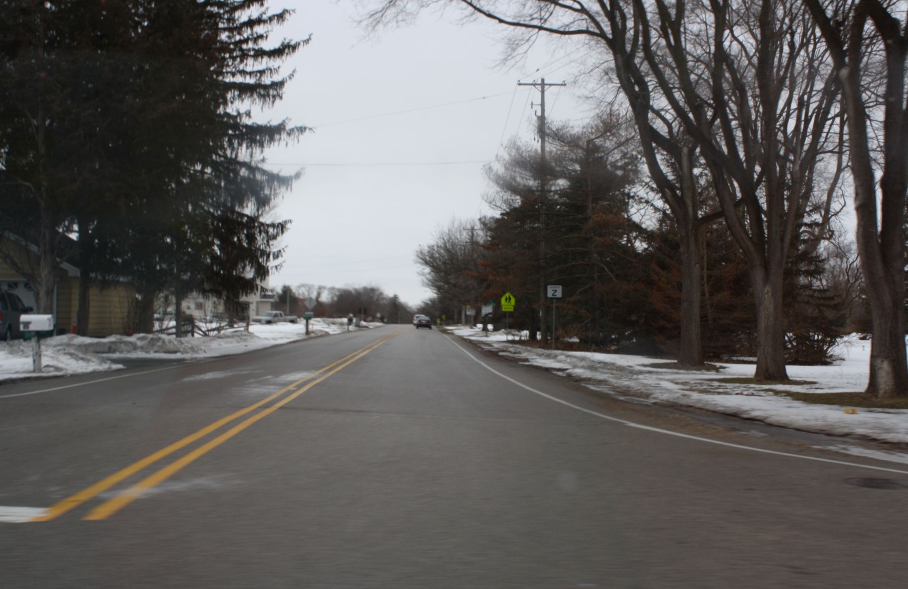
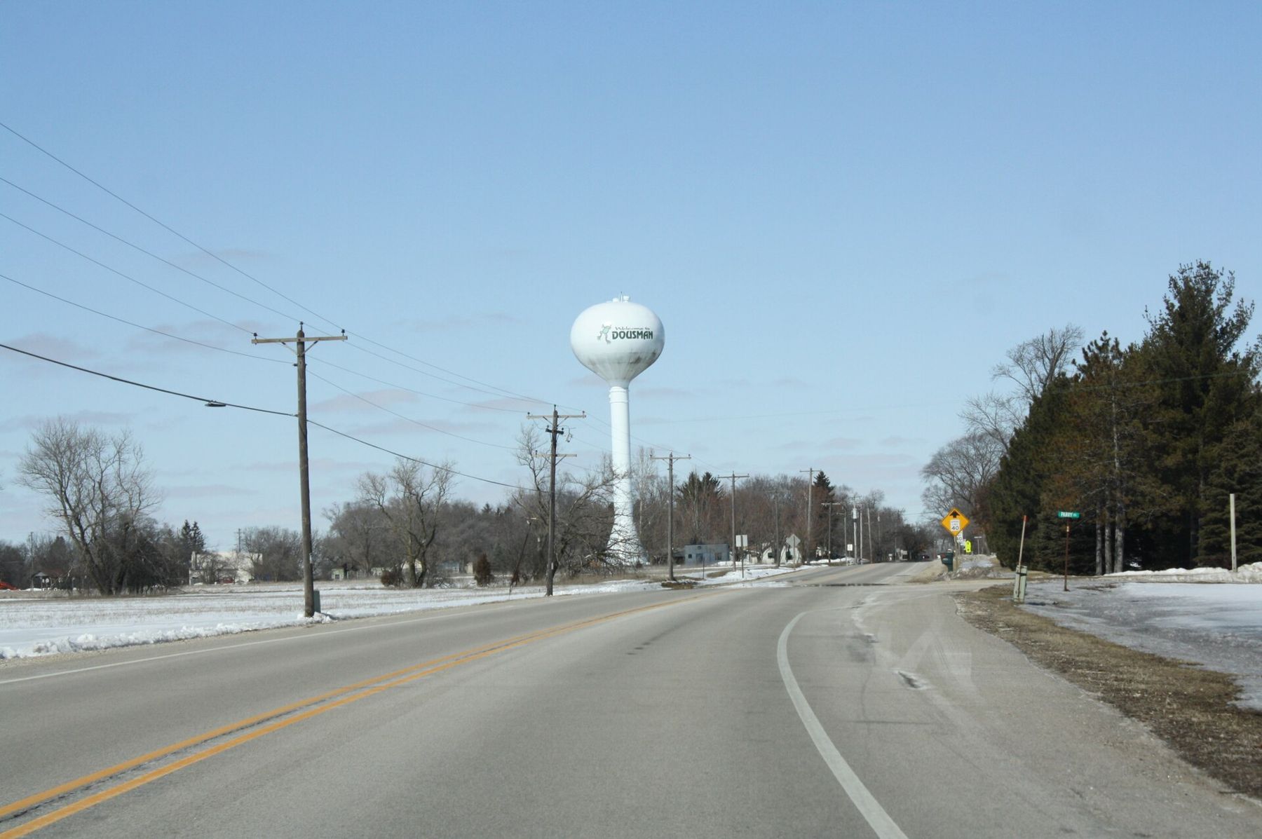
The water tower is the first thing you see coming north on WIS 67, standing above the trees before the village appears. Dousman is a small village in western Waukesha County, roughly halfway between Eagle and Oconomowoc, where WIS 67 meets US 18 and the Bark River loops through low ground on its way southwest.
It is a trail town in the plain sense: the Glacial Drumlin State Trail runs right through it on the bed of an old railroad, and the village makes a natural start or finish for a ride. Around it are farm fields, horse pastures, marshes along the river and, to the south, the northern edge of the Kettle Moraine's Southern Unit.
How to arrive in Dousman
From I-94, take the WIS 67 exit at Oconomowoc and drive south about 7 miles. From Eagle, drive north on WIS 67 about 9 miles through the hills, past the turn for Ottawa Lake. From Waukesha, US 18 runs west through Wales and into Dousman. From Madison, use I-94 east to WIS 67, or ride the Glacial Drumlin Trail the whole way if you have a long day and good legs.
There is trailhead parking in the village close to the trail; follow the signs from the center. On fine weekends in summer and fall it fills by late morning, so arrive early or park on a side street where signs allow it. There is no passenger train or regular bus.
Riding the Glacial Drumlin State Trail
The trail runs about 50 miles between Waukesha in the east and Cottage Grove, near Madison, in the west. Dousman sits on its eastern half, and the trail changes character here.
East toward Waukesha the Waukesha County section is paved. It passes through Wales and the edge of farmland and subdivisions before reaching the city. It is the easier ride for road bikes, strollers and in-line skates, and it is busier.
West toward Lake Mills the surface is crushed limestone. The trail passes through Sullivan and Helenville, crosses farmland and wetlands, and reaches Lake Mills and Rock Lake after roughly 20 miles. This is the quieter direction. Hybrid or gravel tires are the right choice, and the limestone dust gets everywhere after a dry week.
The name comes from the drumlins along the way: long, low hills shaped by the glacier, all pointing the same direction. You notice them most west of Dousman, where the fields rise in smooth whalebacks on either side. For a full stop-by-stop guide, see the Glacial Drumlin State Trail page.
Cyclists on the state-run section need a state trail pass; walkers do not. The rules have changed over the years and differ between the county-run and state-run sections, so check current requirements before you ride. In winter, parts of the trail are open to snowmobiles, so walk on the edge and keep dogs close.
The Bark River
The Bark River rises north of Hartland, flows through Nagawicka Lake at Delafield and the Nemahbin lakes, and then winds south and west through Dousman toward Rome and Fort Atkinson, where it joins the Rock River. Around Dousman it is a slow, narrow river through cattail marsh and sedge meadow, with low banks and plenty of muskrat and heron.
The stretch below Dousman is a pleasant half-day paddle in a canoe or kayak when water levels are moderate. Watch for fallen trees, low bridges and fences across the channel; portage when in doubt. Our page on paddling the Bark River gives the put-ins and the hazards in order.
Ottawa Lake and the farm roads
A few miles south on WIS 67, the Ottawa Lake Recreation Area has a campground, a sand beach and a short trail around part of the lake and its marsh. It is the closest swimming beach to Dousman, and it is quiet on weekday mornings. State forest admission applies.
The county roads around the village are some of the best cycling in this part of the state when you want something other than a rail trail. They roll over drumlins and past dairy barns, horse farms and hobby orchards. Many have narrow or no shoulders, so ride single file and wear something bright.
From midsummer into October, look for farm stands at the end of driveways: sweet corn, tomatoes, melons, then squash and pumpkins. Some run on an honor box. Bring cash and a bag.
When to go, and what is underfoot
Late May through June is the best time on the trail west of Dousman: the marshes are green, bobolinks and meadowlarks sing from the fence posts, and the heat has not settled in. September and early October bring clear air, goldenrod along the trail edges and the farm stands at their fullest.
The limestone surface softens after long rain and can rut where horses or maintenance vehicles have crossed. On the paved section east of the village, watch for frost heaves in early spring. In midsummer there is little shade on either side for long stretches, so carry more water than you think you need and refill in the villages along the way. In winter, check whether the trail is packed for snowmobiles before planning a walk.
A day in and around Dousman
Park near the trail early. Ride west on the limestone toward Sullivan and Lake Mills for as long as you like, then turn around; the trail is nearly flat, so you can judge the return by the time it took going out. Back in the village, eat lunch at one of the small places near the center, then drive south to Ottawa Lake for a swim or a walk around the marsh in the late afternoon.
If you have a second day, drive the 5 miles northeast to Delafield and climb the tower at Lapham Peak, or head south on WIS 67 into the forest proper.
Ride back into Dousman in the evening from the west, with the sun behind you and the water tower showing over the trees, and you will know you are close.