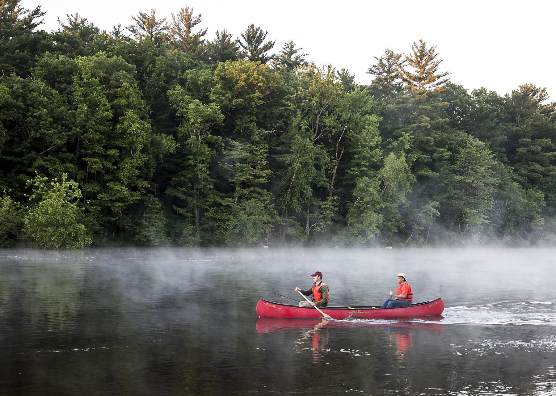
The Bark River rises in the swamps and small lakes of northern Waukesha County and wanders southwest for many miles before it meets the Rock at Fort Atkinson. In Lake Country it threads Nagawicka Lake at Delafield and the two Nemahbin lakes, then leaves the lakes behind and turns into a small, quiet river: ten to thirty feet wide, slow, clear over sand and gravel, and full of bends.
This is the stretch most paddlers mean when they talk about the Bark: from the outlet of Lower Nemahbin south through Dousman and on into Jefferson County to the millpond at Rome. It is a day of marsh, woods and fallen trees, with no rapids worth the name. It rewards a short boat, a light load and a patient mood.
- Lower Nemahbin outlet Start on Lower Nemahbin Lake, the second of the two lakes strung along Interstate 94 west of Delafield. Use a public landing, cross the lake to its outlet and look for where the shoreline closes in and the current begins. If the wind is up, keep to the shore; the lake is open and can chop. Our page on Nagawicka and the Nemahbin lakes covers the lake end in more detail.
- Under the highway Below the lake the river passes under roads and the interstate. Culverts and low bridges are where debris piles up, so slow down, look through before you commit and be ready to get out and walk around. In high water some passages leave little headroom.
- The marsh run The river loops through open sedge marsh and cattails north of Dousman. Red-winged blackbirds own this stretch from April on, and you may flush a heron or a pair of sandhill cranes. The channel splits now and then; take the branch with the most current. Fallen trees across the full width are common here, and you will probably have to lift over at least one.
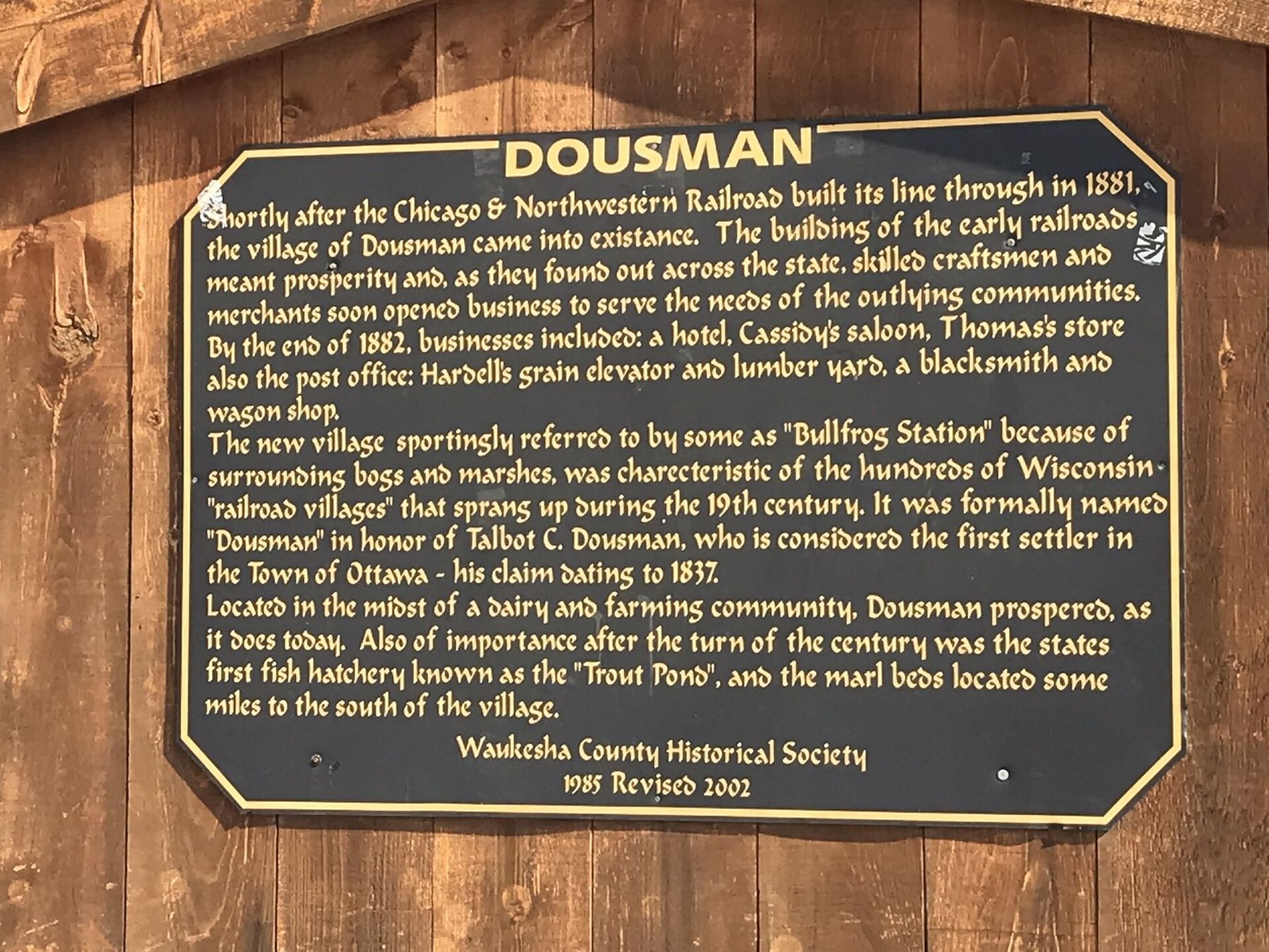
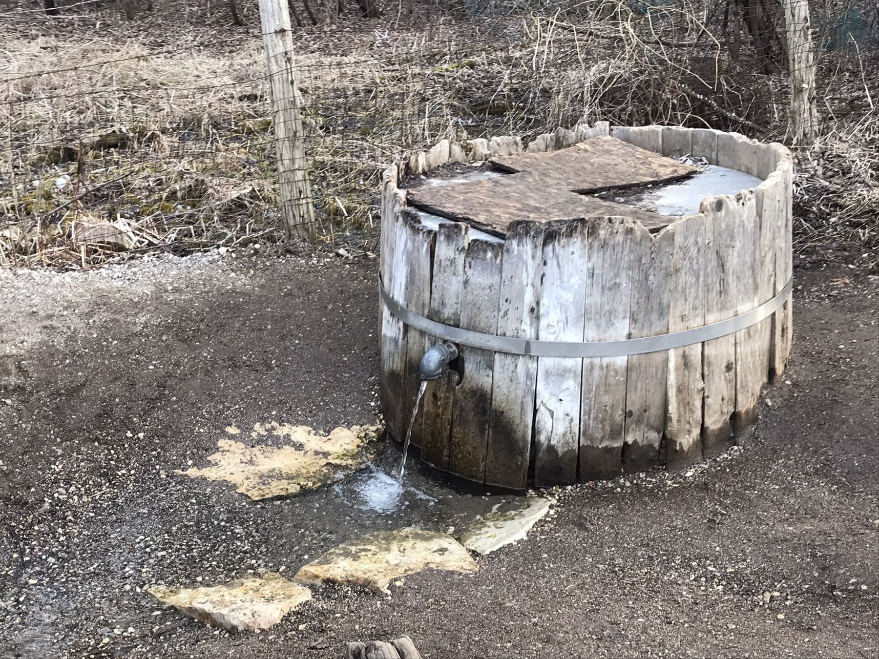
- Dousman The river reaches the village of Dousman, the natural halfway point and the easiest place to end a short trip. Stretch your legs, refill water and find a sandwich in the village. Parry Spring, a wooden barrel of cold groundwater in the village, is a small reminder of how much spring water feeds this river. More on the village is on our Dousman page.
- South into farm country Below Dousman the Bark winds through a mix of pasture, woodlots and wet meadow. Banks rise and fall; in places you paddle under arching silver maples and box elders, in others you are out in the sun among reed canary grass. Watch for fences or cables strung low across the water near pastures, especially after a flood.
- The county line The river crosses from Waukesha into Jefferson County and slows as it starts to back up behind the dam at Rome. The current fades, the channel widens and you begin to work for every mile. This is a good place for lunch on the water rather than on a bank, since nearly all the land along the river is private.
- Rome millpond The river spreads out into the millpond at Rome, a broad, weedy pool with homes along its edges. Paddle down the middle, keep the dam well ahead of you and land at the marked take-out above it. Do not drift toward the spillway. The dam is a portage for anyone continuing toward Hebron and Fort Atkinson.
Underfoot and overhead
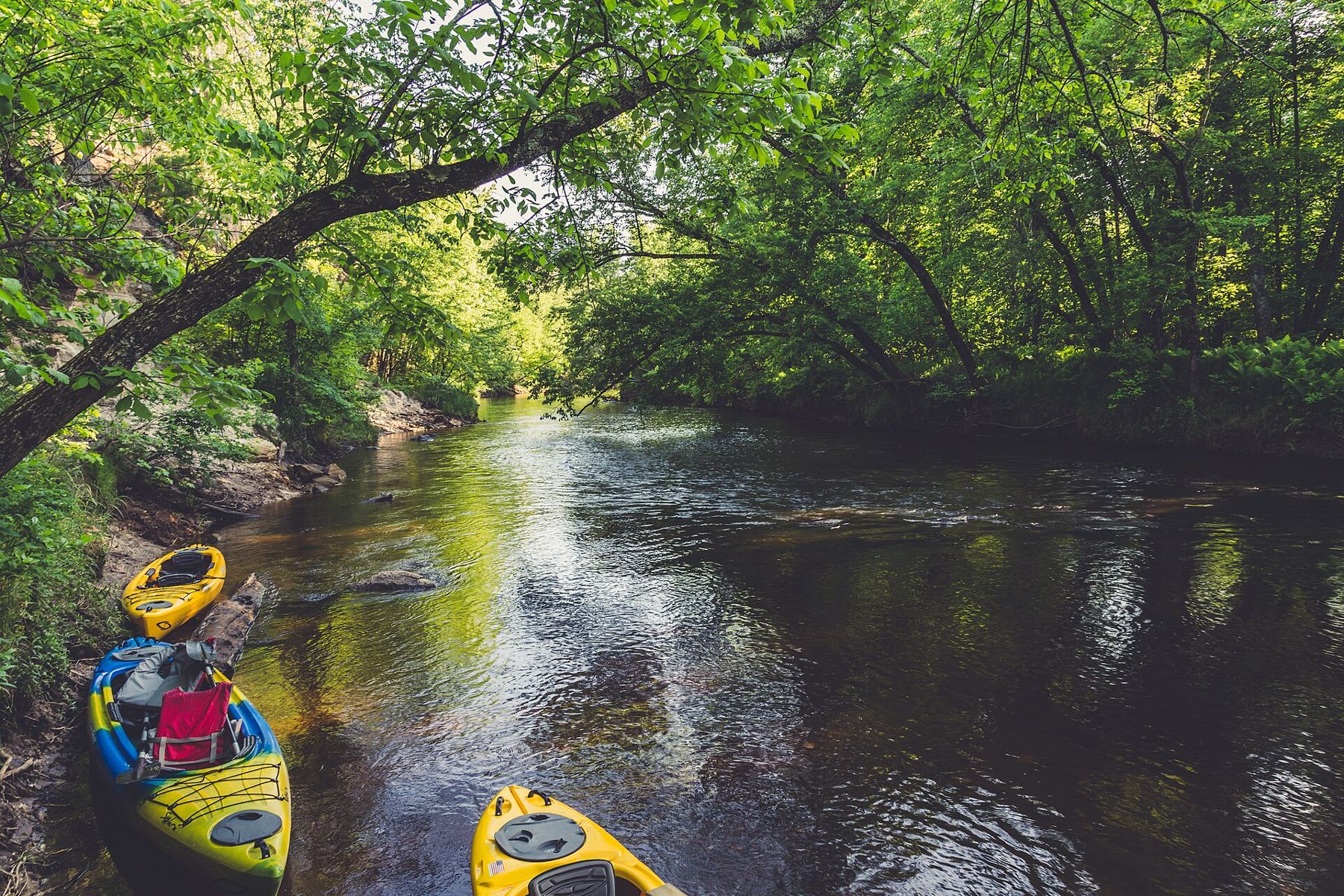
The Bark is a deadfall river. Trees topple into it every season, and volunteers and landowners clear some of them, but not all and not quickly. Expect to scrape over logs, squeeze past branches and climb out at least once or twice. A boat under fourteen feet turns more easily in the tight bends. Long sea kayaks and loaded canoes have a hard day.
Strainers are the real hazard: a fallen tree with current pushing through its branches can pin a boat or a swimmer. If you see one ahead, get to the inside of the bend early, land and walk around. Never try to slide through branches in fast water. Wear a life jacket the whole way, not just on the lake.
The bottom is mostly sand, gravel and muck. In the marsh you can sink to your knees if you step out carelessly, so bring shoes that stay on your feet in mud and test the footing with a paddle first.
Wisconsin's rivers are public up to the ordinary high-water mark, but the land above that line is private along most of this route. Stay in the river or on the bank at the waterline, do not picnic in anyone's yard and land only where a public access is posted.
When to go
Late May and June usually bring the best water: enough flow to float the riffles, warm enough that a dunking is unpleasant rather than dangerous. By late July and August the river often drops, and the shallows below Dousman turn into a walk. After heavy rain the Bark rises fast and pushes hard into every tree.
Early spring is cold water and high water at once. Unless you are experienced and dressed for immersion, wait until the water warms. September and early October are fine if rain has kept the river up, with fewer bugs and the marsh turning gold.
Check a recent water level reading before you go, and ask a local outfitter how the river is running; see our page on kayak rentals and launches for outfitters in the area. Plan your shuttle so the car is waiting at the end: the river is slow, and a trip that looks short on a map can take most of a day with portages.
The longer version
Below Rome the Bark keeps going through Hebron to Fort Atkinson, where it joins the Rock River in the middle of town. That lower river is wider and generally clearer of deadfall, with its own dams and landings. Paddlers who want the whole thing split it into several day trips over a season rather than a single push. The town end of that trip is covered on our page about the Rock River at Fort Atkinson.
Upstream of the Nemahbins, the river runs through Nagawicka Lake and Delafield and on up to Hartland. Those stretches mix lake crossings with short river links and work best in a boat that handles open water.
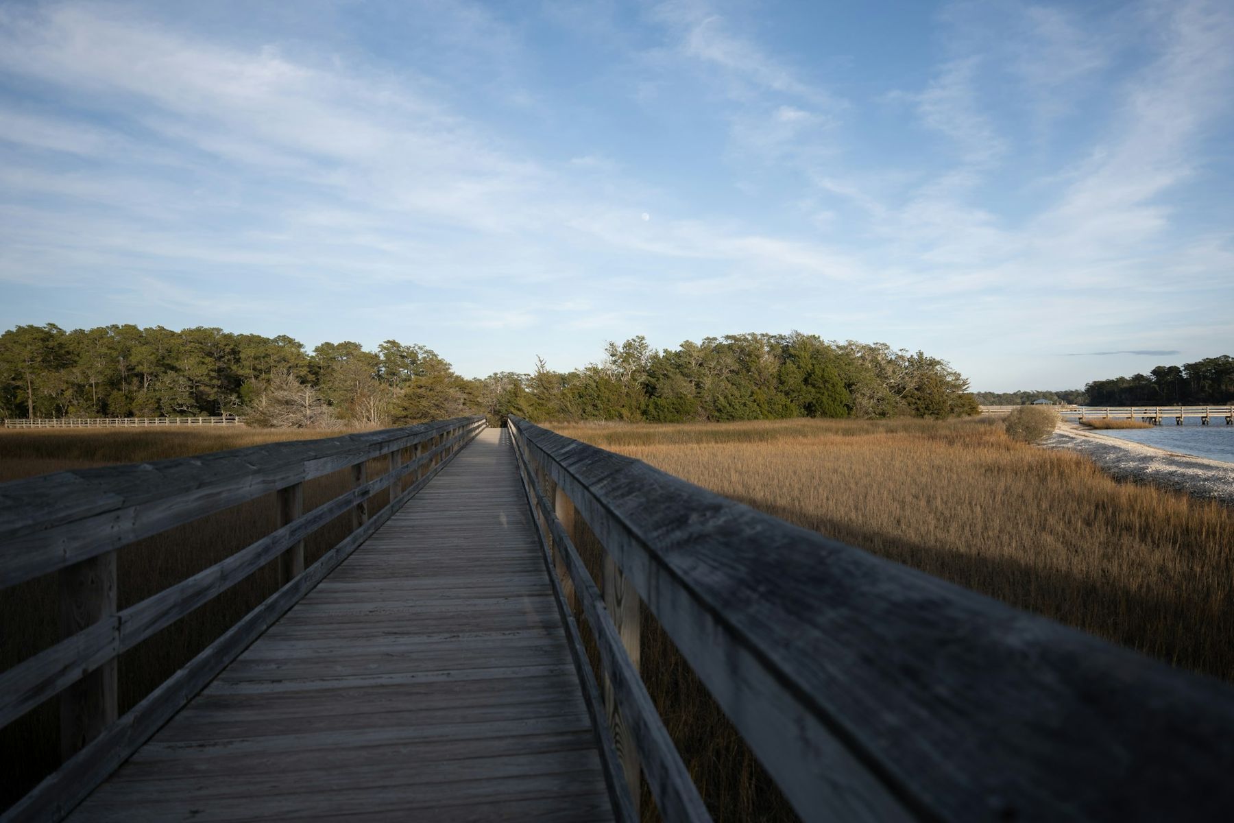
Wherever you put in, pack out everything you carry, including the bits of fishing line you find snagged in the branches. Then end the day on the Rome millpond with the sun low and the swallows working the water.