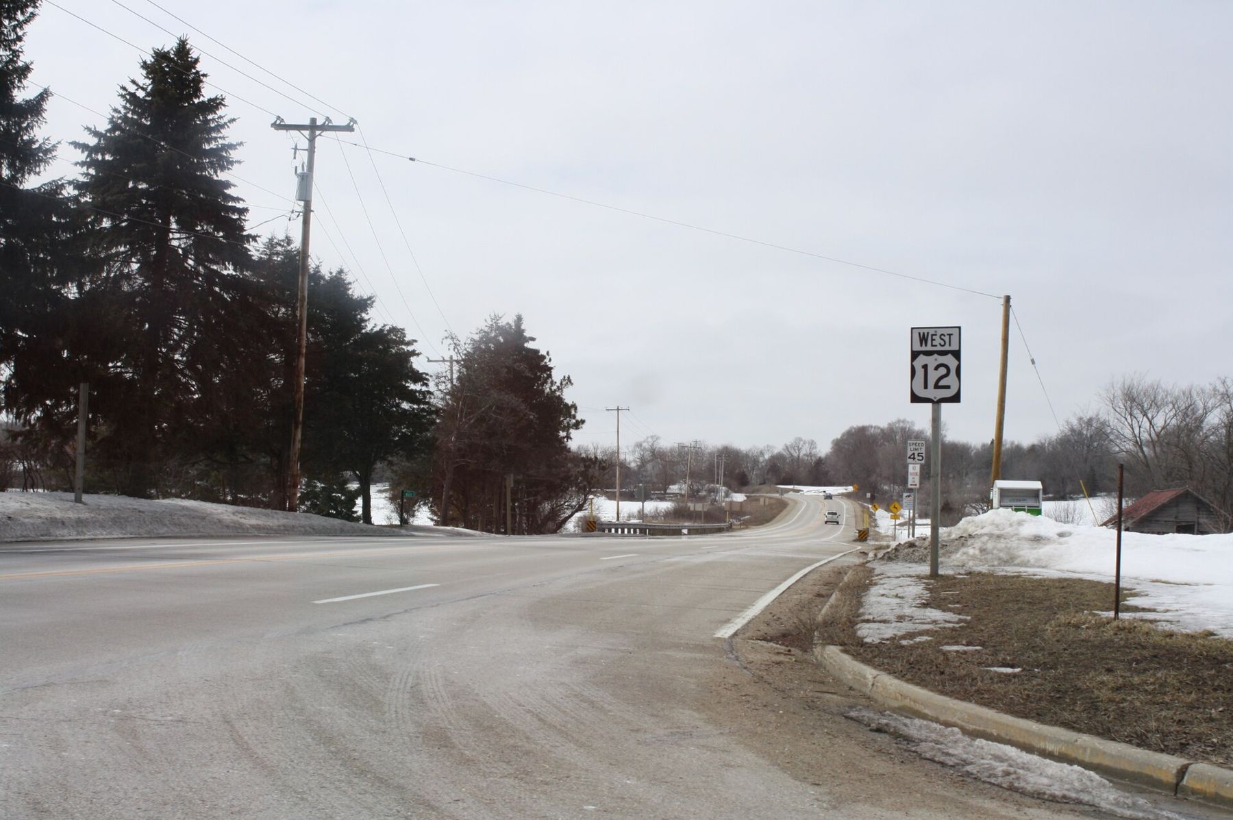
Drive to the crossroads at La Grange, where County H meets Highway 12, and turn north. The forest closes in within a mile. The John Muir trailhead is on County H; Emma Carlin is farther north, off County Z near Highway 59. Between them they hold most of the singletrack in the southern Kettle Moraine, and most of the people on them are on bikes.
That shapes how you walk here. The loops are built and maintained largely for mountain biking, with banked turns, rock gardens and long fast descents. Hikers are welcome and have the right of way, but you will enjoy it more if you choose your loop, your time and your direction with the riders in mind. Our separate page on mountain biking at John Muir covers the riding side.
A day on both systems
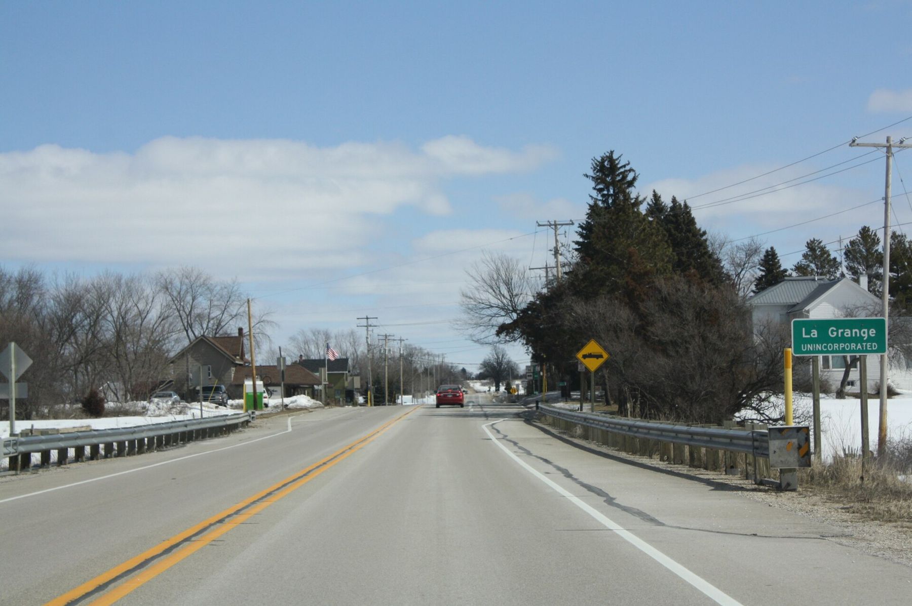
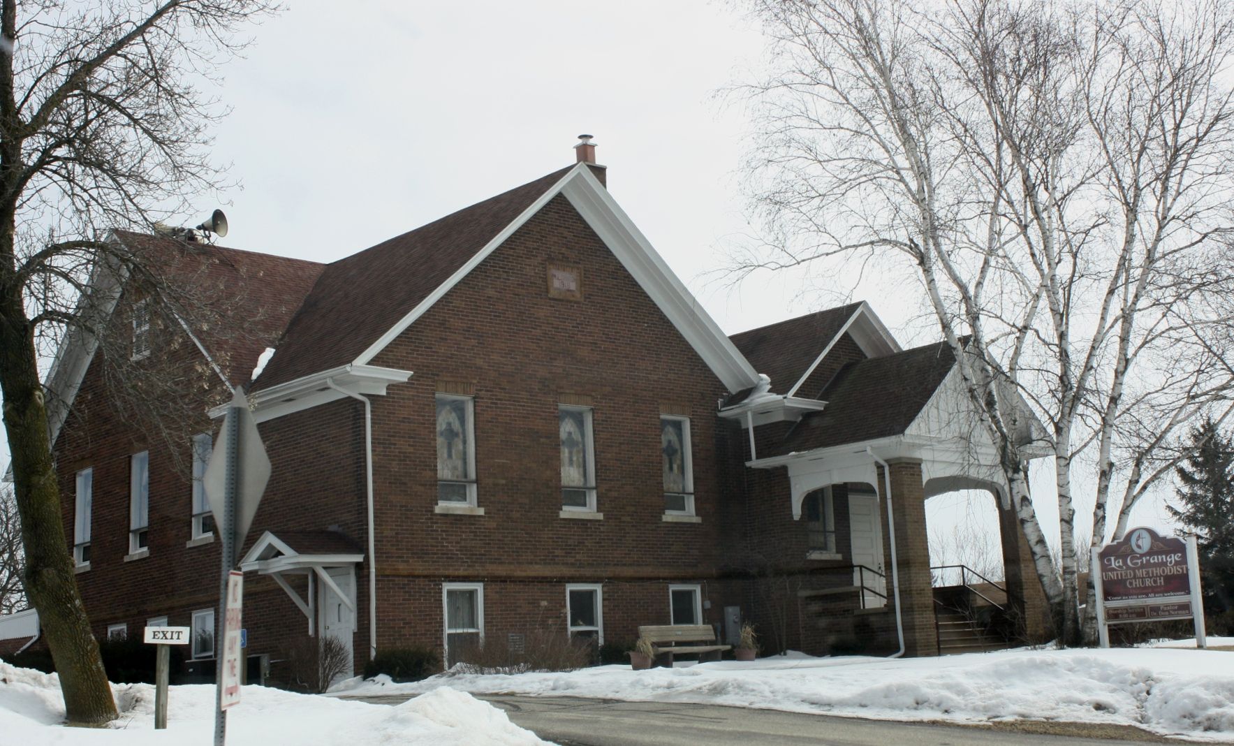
- La Grange crossroads Start where everyone starts. The small crossroads at Highway 12 and County H has a white Methodist church and a store that has long catered to riders and hikers; check that it is open before you count on it. Fill your water bottles before you head north: there is no drinking water out on the loops.
- John Muir trailhead North on County H, the John Muir lot has toilets, a map board and a self-pay station. The loops are colour-coded and run from a short beginner circuit to a long outer loop of around ten miles. Walk the short loops first to learn the ground: rolling, rooty and quick to drain.
- The prairie openings Parts of the John Muir system leave the woods for restored prairie and old fields. In July and August these openings are full of bergamot, coneflower and big bluestem as tall as you are. They are also hot, so time them for the morning.
- The connector A long connector trail links John Muir to Emma Carlin through the middle of the forest. It is less busy than either loop system and makes a good point-to-point walk if you can arrange a ride back. Carry the map: junctions are signed but there are several of them.
- Emma Carlin trailhead Emma Carlin, off County Z, is smaller, steeper and rockier. Its loops are shorter than John Muir's, but the climbs are harder and the descents are loose. Hikers who want hills rather than distance should start here.
- The ridgetop at Emma Carlin The longest Emma Carlin loop climbs onto the high ground of the moraine with views out over the forest when the leaves are down. Stop at the top and listen downhill before you start back: bikes come up fast on the descents.
Choosing a loop
If you have an hour, walk one of the short loops at John Muir. They stay close to the trailhead, the hills are modest and you get a feel for the mix of woods and prairie. If you have half a day, take a middle-length loop, or start at Emma Carlin and walk the longest loop there, which packs more climbing into fewer miles. If you have a full day and a second car, walk the connector from one trailhead to the other.
Take a photograph of the map board before you set out. Junction posts carry numbers that match the map, and a wrong turn at a junction can send you several miles onto a longer loop than you planned.
The name on the southern trailhead belongs to John Muir, the naturalist who grew up on a farm in central Wisconsin before he went west to the Sierra Nevada. The trails are a fitting tribute: woods, open sky and a long way to walk.
What to carry
Carry water for the whole walk, plus a snack, a phone with the trail map saved and a layer for the wind on the ridges. In summer, add insect repellent for the woods and sunscreen for the prairie. In fall, hunting is allowed in parts of the forest; wear blaze orange during the November gun deer season. Horses have their own separate trail system in the forest, described in horse trails of the Southern Unit, so you will rarely meet them on these loops.
Sharing the trail
Most bike loops at John Muir are signed for one direction of travel. Walk against that direction so you see riders coming toward you rather than having them come up behind you. Step off on the uphill side to let riders pass. If you have headphones, leave one ear free. Dogs must be leashed, and a dog on a long lead across a fast descent is a real hazard, so keep yours close; see hiking with dogs in the Kettle Moraine.
Weekday mornings are quietest. Weekend afternoons from May to October are the busiest, and Saturdays in late September can fill the John Muir lot.
When to go
Fall is the best time for hikers: firm ground, cool air and oak colour on the ridges. The forest closes the bike trails when they are soft, usually in spring thaw and after heavy rain, and hikers are asked to stay off too, because boots rut wet clay just as tyres do. Check conditions before you drive out. In winter, some loops may be groomed for fat bikes while others stay closed; follow the signs at the trailhead.
Spring wildflowers come up on the shaded slopes in late April and May, before the trails are busy. In midsummer, walk the prairie openings at dawn, when the dew is still on the grass and the birds are loud.
Underfoot
Expect hard-packed dirt, roots, loose glacial cobbles on the climbs and sand in the low spots. Wear shoes with grip. The John Muir loops dry out quickly after rain; Emma Carlin's rocky pitches stay slick longer. Both systems are named loops in a working forest, so you may meet logging or prescribed-burn closures; detours are signed at the trailhead.
When you get back to the lot, look at the map board again and find the loop you skipped. Riders come in muddy from the north on spring afternoons; you will want to come back when it is dry.