Cedar Creek drops through the middle of Cedarburg in a series of small falls and dams, and for most of the nineteenth century that drop was the town's reason to exist. Mills lined it: flour mills, a woolen mill, a nail factory. Many of them were built of local limestone, and the stone walls are still standing. Walk the creek first and you will understand the town.
Cedarburg is a small city in Ozaukee County, about 20 miles north of downtown Milwaukee. It was settled in the 1840s, largely by German immigrants, and its main street has kept so much of its stone and cream-brick architecture that much of downtown is a historic district. It is a polished place now, with shops, galleries and festivals, but the old mill town is easy to see under the polish.
How to arrive in Cedarburg
From Milwaukee, take I-43 north and exit west toward Cedarburg; the drive takes about half an hour. From the Kettle Moraine country west of Milwaukee, allow an hour or a bit more, using I-94 east and US 45 north, then cutting east on the county roads. From the north, WIS 57 runs straight through town.
No passenger train runs here. You can, however, arrive by bike on the Ozaukee Interurban Trail, a paved path on the bed of an old electric railway that passes through downtown. Park in the free public lots just off Washington Avenue and walk the rest.
Washington Avenue and the mills
Washington Avenue is the main street. Walk it from end to end. The buildings are mostly nineteenth century, many of them limestone with heavy window lintels, others in the pale cream brick common around Milwaukee. Shops, cafes and galleries fill the ground floors. Look up for date stones and the names of the original owners carved over doorways.
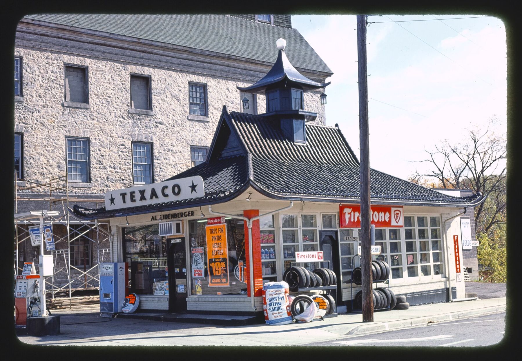
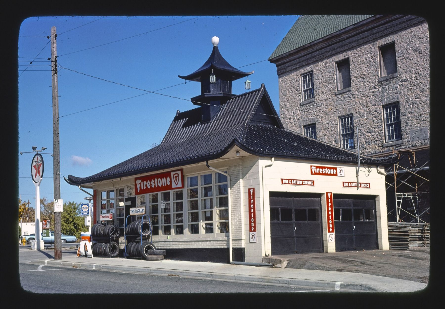
The largest of the old mills is the stone woolen mill on the creek at the north end of downtown, built in the 1860s. It now holds Cedar Creek Settlement, a cluster of shops, restaurants and a winery inside the old stone walls. Walk through even if you don't plan to buy anything. The thick walls, the beams and the uneven floors say more about the town's working past than any sign.
From the mill, walk down to the creek. Footbridges and small parks let you get close to the water and the old dams. In spring, after snowmelt, the creek runs high and loud through the town. In late summer it can drop to a trickle over the rock.
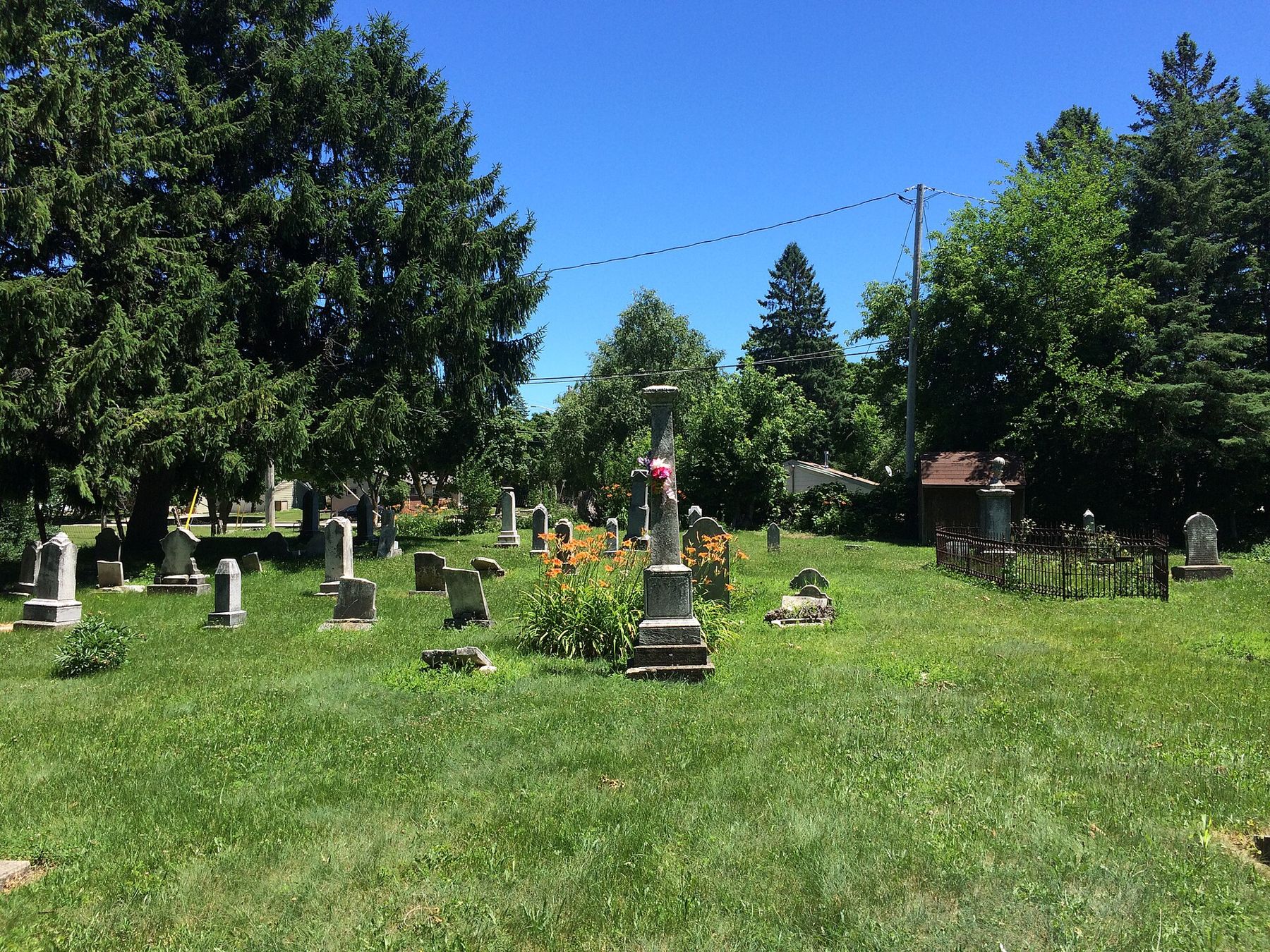
Side streets are worth an hour too. The blocks behind Washington Avenue have nineteenth-century houses, churches and an old cemetery shaded by tall trees. Walk them in the morning, before the shops open, when the town is quiet.
Why the stone survived
Many Wisconsin mill towns lost their old buildings in the twentieth century, to fire, to new highways or to simple neglect. Cedarburg came close. By the middle of the century, several of its mills stood empty, and some were at risk of being torn down. Local residents and business owners pushed instead to save and reuse them, and the town's downtown was listed as a historic district.
The result is a main street where most of the old fronts are original and the stone walls you touch are the ones the millers built. When you walk the avenue, notice how few gaps there are in the rows of old buildings. That continuity is unusual for a town this close to a big city, and it is the reason Cedarburg draws visitors now.
The covered bridge
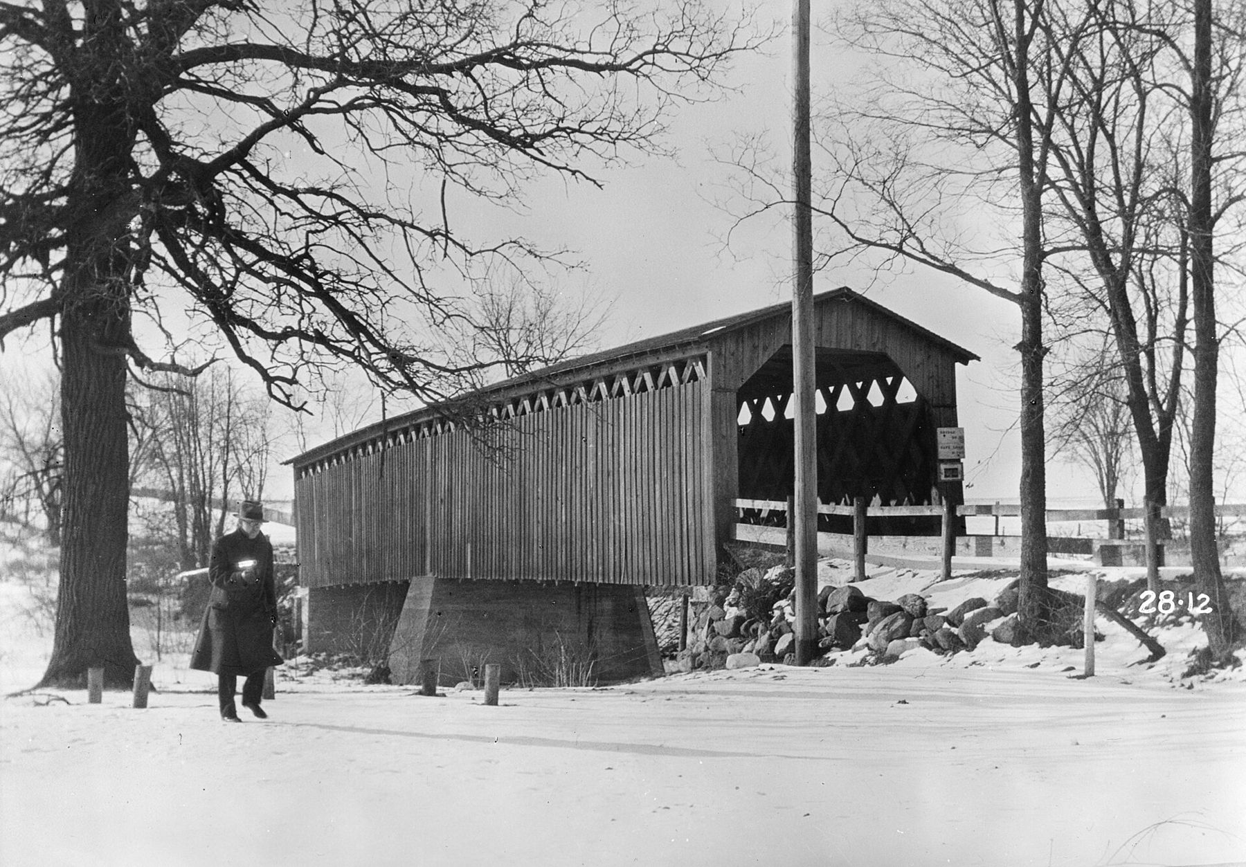
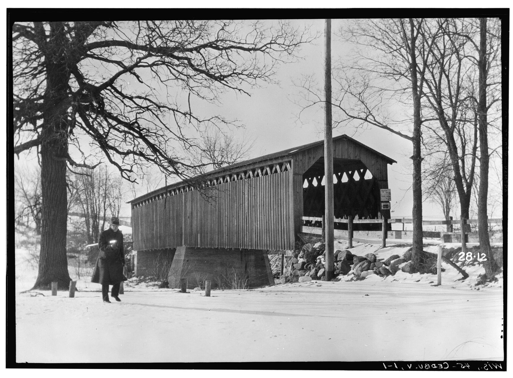
A few miles north of town, in a small county park beside Covered Bridge Road, stands the last original covered bridge in Wisconsin. It was built in 1876 over Cedar Creek, with a timber lattice truss holding up the deck. Cars stopped using it in the 1960s, and it now stands in a quiet clearing for walkers.
Drive there from downtown, or ride the Interurban Trail north and cut over on the roads. Walk through the bridge and look at the lattice from inside, then go down to the creek and look back at it. Fall is the best time, when the trees around it turn, but the bridge works in any season. In winter, with snow on the roof, it looks much as it does in the old photograph on this page.
A walking loop
Downtown Cedarburg is long and narrow, strung out along the creek and Washington Avenue. This loop covers it in about two hours at an easy pace.
- Start at the south end of Washington Avenue and walk north on one side, looking at the stone and brick fronts.
- Turn down to the creek where the street crosses it, and look at the old dam and mill walls from below.
- Continue north to the stone woolen mill and walk through the buildings.
- Come back south on the other side of the avenue, ducking down side streets to see the houses and churches.
- Pick up the Interurban Trail for a short stretch if you want a flatter, quieter return.
The sidewalks are good and the grades are gentle, except for the short drops down to the creek. Those paths can be wet and slippery in spring and after rain. In winter, Washington Avenue is cleared quickly, but the creekside paths may not be.
Eat in town if you like: there are cafes, bakeries and restaurants along the avenue and in the mill. Lunch hour on Saturdays is busy, so eat early or late.
Festivals and seasons
Cedarburg is known for its festivals. A strawberry festival fills the town in June. A wine and harvest festival comes in September. A winter festival in February brings outdoor events built around ice and snow. Each draws large crowds and closes parts of the main street. Check dates before you go, and decide whether you want the festival or the town.
Outside festival weekends, weekday mornings are the quietest time. December is pleasant, with lights along Washington Avenue and the shops decorated for the holidays. For more places to taste local wine and cider in the region, see our page on wineries and cideries.
Cedarburg pairs well with the country west of it. Spend the morning here, then drive west toward Holy Hill and the Northern Unit of the Kettle Moraine. Or make a longer loop of the region's old towns with Delafield and Oconomowoc. Either way, finish back on Cedar Creek, below the mill, as the light goes off the stone.