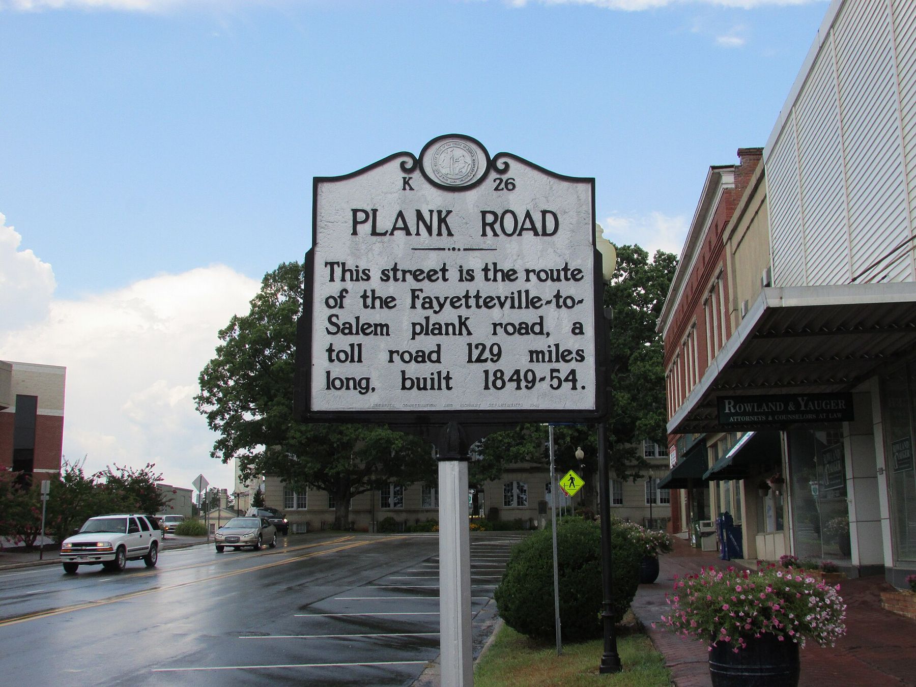
Drive west out of Milwaukee on Watertown Plank Road and the name tells you what was once under your tyres. In the late 1840s, this route was surfaced with thick wooden planks laid side by side, and you paid a toll every few miles to use it. It was one of a burst of plank roads that spread out from Milwaukee and other lake ports across southeastern Wisconsin in the years around statehood.
They lasted only a short time. Within a decade or two, most had rotted, been abandoned or been turned into ordinary gravel roads, and the railroads had taken their trade. But their routes shaped the roads you drive today.
The mud problem
Southeastern Wisconsin in the 1840s was filling up fast with settlers from New England, New York, Germany and elsewhere. Farmers in the new towns west of Milwaukee were growing wheat, and they needed to haul it to the lake, where ships could carry it east. The trouble was the roads.
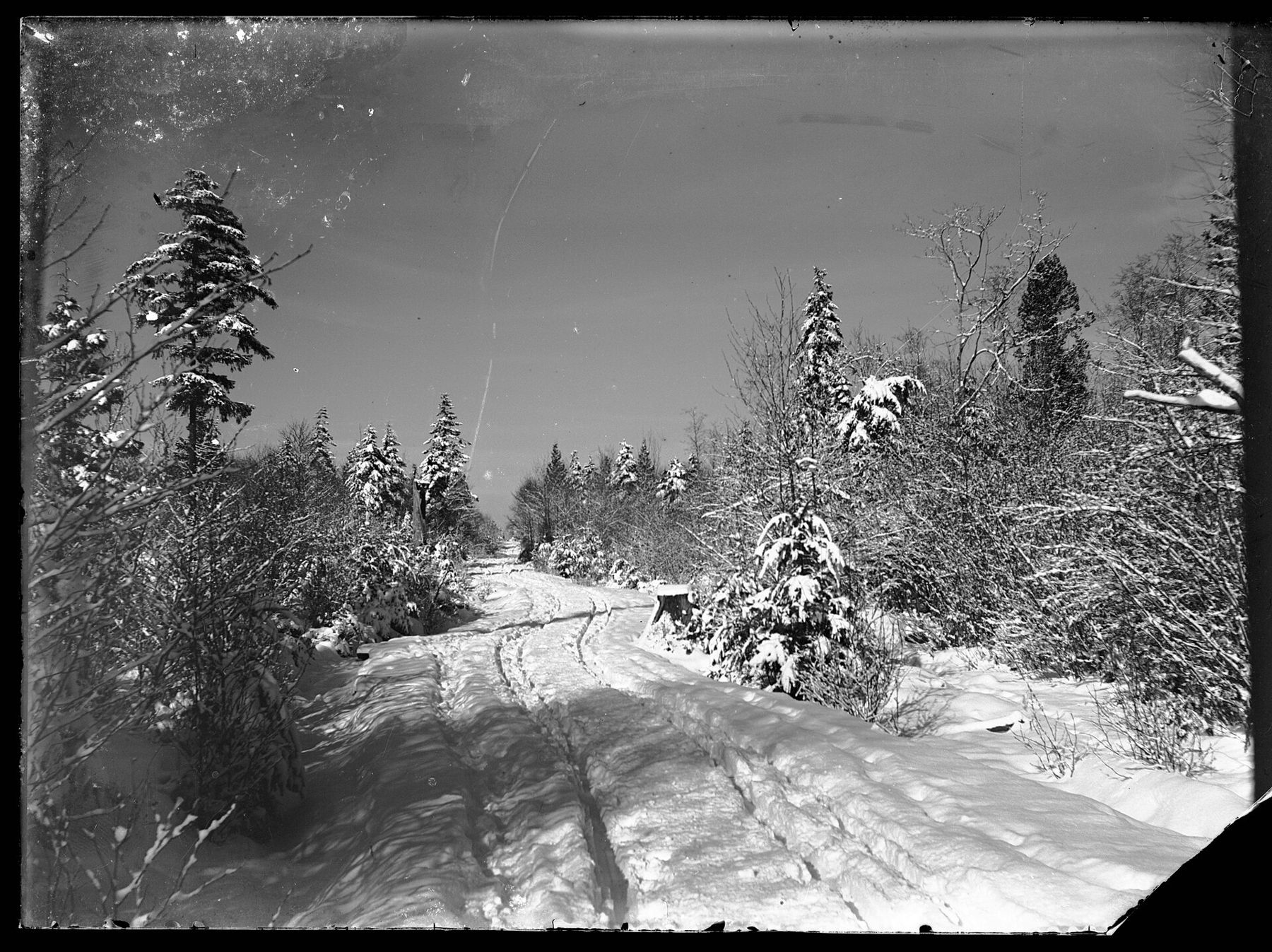
Most were little more than cleared tracks across clay and glacial till. In dry weather they were rough. In the spring thaw and the fall rains they turned to deep, sucking mud that could stop a loaded wagon for days. A trip that took a day in August might take far longer in April, or be impossible.
The territory and then the new state had little money to build roads. Railroads were being talked about, but they needed far more capital and were years away from reaching most farm towns. Something cheaper and quicker was wanted.
The plank road boom
The answer came from the east. Plank roads had been tried in Canada and then spread through New York in the mid-1840s, and the idea travelled west with the settlers. The principle was simple: lay a wooden deck over the mud and let wagons roll across it.
In Wisconsin, plank roads were built by private companies chartered by the legislature. Investors, often local merchants and farmers along the route, bought shares. The company built the road and collected tolls to pay for upkeep and, it hoped, a profit. The late 1840s and early 1850s brought a rush of charters, and roads were planned out of Milwaukee toward Watertown, Janesville, Fond du Lac and other inland towns, as well as out of ports such as Sheboygan and Kenosha. Many charters never turned into finished roads; others were built in part and stopped.
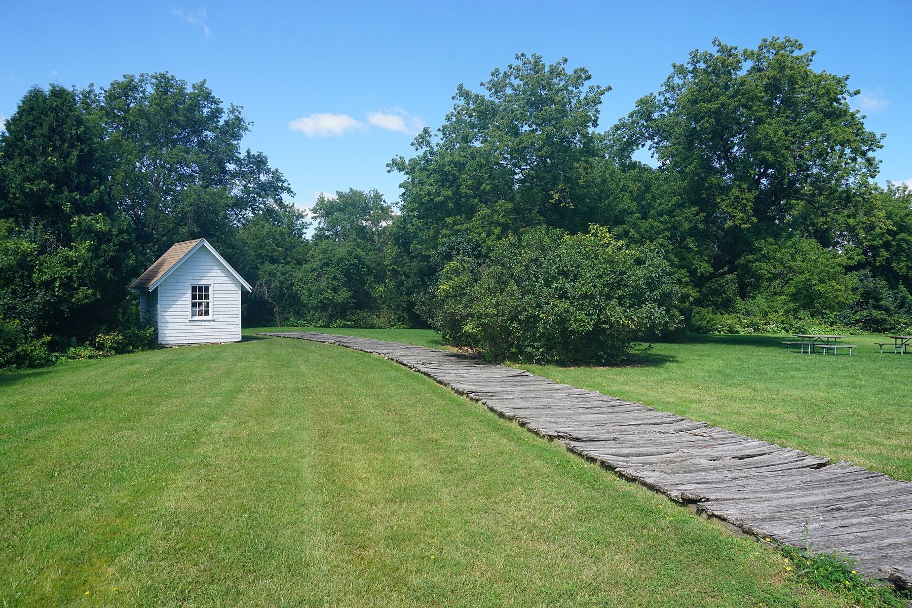
A typical plank road began with grading a level roadbed and ditching both sides for drainage. Long timbers were laid lengthwise as sills, and heavy planks, often a few inches thick and about eight feet long, were laid crosswise on top. The deck was usually only wide enough for one wagon, with a dirt track alongside so vehicles could pull over to pass. Hardwood from the nearby forests supplied the timber.
Life on the road
When a plank road was new, the change was dramatic. Wagons that had struggled through mud now rolled steadily, carrying bigger loads at a better pace in any season. Farmers could plan trips to market. Stagecoaches ran regular schedules between Milwaukee and the inland towns.
Toll gates stood every several miles, each with a keeper who lived in a small house beside the road and lowered a pole or gate across the deck. The toll depended on what you were driving: a wagon and team, a single horse and rider, or livestock on the hoof. Some travellers resented the charges and found ways around the gates on side tracks.
Traffic in the busy months could be heavy. Wheat moved east toward the lake in long lines of wagons after harvest, and the same wagons came back west loaded with goods from the city: salt, iron, cloth, tools, stoves and glass for the new farmhouses. Droves of cattle, sheep and hogs were walked along the roads to market, which did the planks no favours.
Inns and taverns grew up along the routes, spaced about a day's journey or a change of horses apart. They fed and lodged teamsters and stage passengers, stabled horses and served as meeting places for the new communities. Several of the villages west of Milwaukee owe their early growth to a spot on one of these roads.
Why the planks failed
The planks did not last. Wood laid on damp ground warped, split and rotted within a few years, and heavy traffic wore deep grooves in it. Loose and broken boards made the ride rough and dangerous for horses. Replacing them cost far more than the companies had planned for, and toll income rarely kept up.
Then the railroads arrived. The first line west from Milwaukee reached Waukesha in 1851, and over the following years tracks pushed further inland. A railroad could move grain faster and more cheaply than any wagon, in all seasons. Traffic drained away from the plank roads that ran alongside. Our page on the railroad towns of Waukesha County follows that part of the story.
Money was the other problem. Many companies were thinly financed from the start, built in sections as cash came in, and borrowed against tolls that never arrived in the amounts promised. Shareholders along a route often cared more about having a usable road past their land than about dividends, which kept some roads going after they stopped paying, but not for long.
Many plank road companies turned their routes into gravel turnpikes, which were cheaper to maintain. Others gave up and handed the roads to the towns they passed through. By the later 1800s, the toll gates were mostly gone and the planks with them.
The roads and the hills
The plank road builders avoided rough ground wherever they could. The Kettle Moraine, with its ridges, kettles and loose gravel, was exactly the kind of country a road company wanted to go around rather than through. Routes favoured the flatter till plains and the valleys, crossing the moraine at its gentler gaps.
That choice still shows. Look at a road map of Waukesha County and you will see the main east-west routes bending around the hilliest country, while the forest today occupies much of the ground that was hardest to farm and hardest to cross. If you want to know why the land lies the way it does, our page on how the glaciers made the Kettle Moraine explains it.
What remains today
The planks themselves are long gone from the roads, but you can still trace the plank road era if you know where to look.
- The names. Watertown Plank Road still runs west from Milwaukee through Wauwatosa and Elm Grove. Elsewhere in the region, roads named Plank Road or Plank Road Street mark old routes.
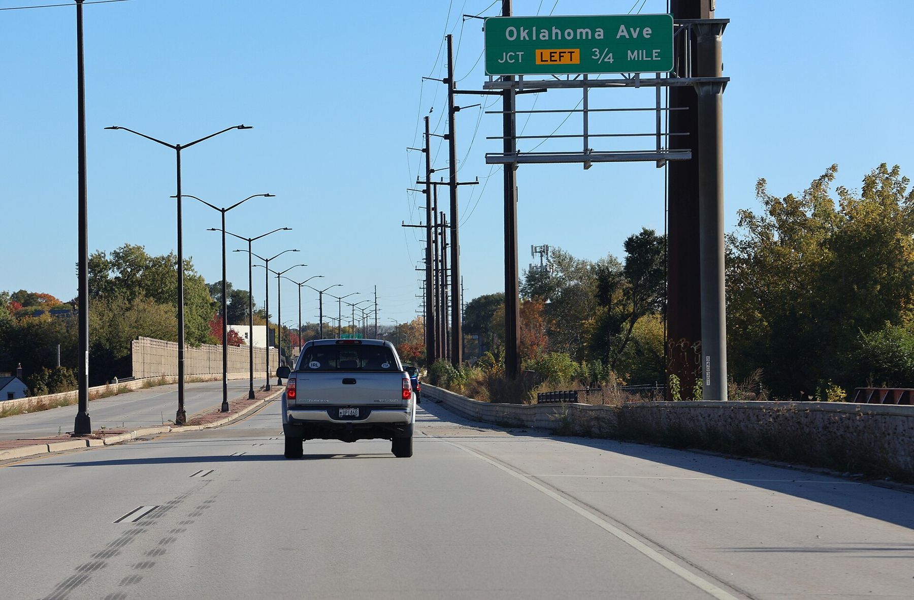
- The lines. Plank roads were laid out to run as directly as possible between towns. Some of today's diagonal highways and county roads, cutting across the square survey grid, follow those early routes.
- The inns. A few early stagecoach inns and taverns survive along or near the old routes. A former stagecoach inn in Brookfield, now a small museum, has a short length of plank road on its grounds, so you can see how the boards were laid.
- The towns. Look at the old main streets of villages west of Milwaukee and notice how they sit along the through road, with the oldest buildings close to the edge.
To see the bigger picture of nineteenth-century settlement, visit Old World Wisconsin near Eagle, where farm buildings from that era have been moved and restored, and read our page on Eagle's history for how one farm town grew up in the same years.
Then drive Watertown Plank Road west out of the city on a wet March day, look at the mud in the field edges either side, and imagine a loaded wheat wagon with nothing but boards between it and that.