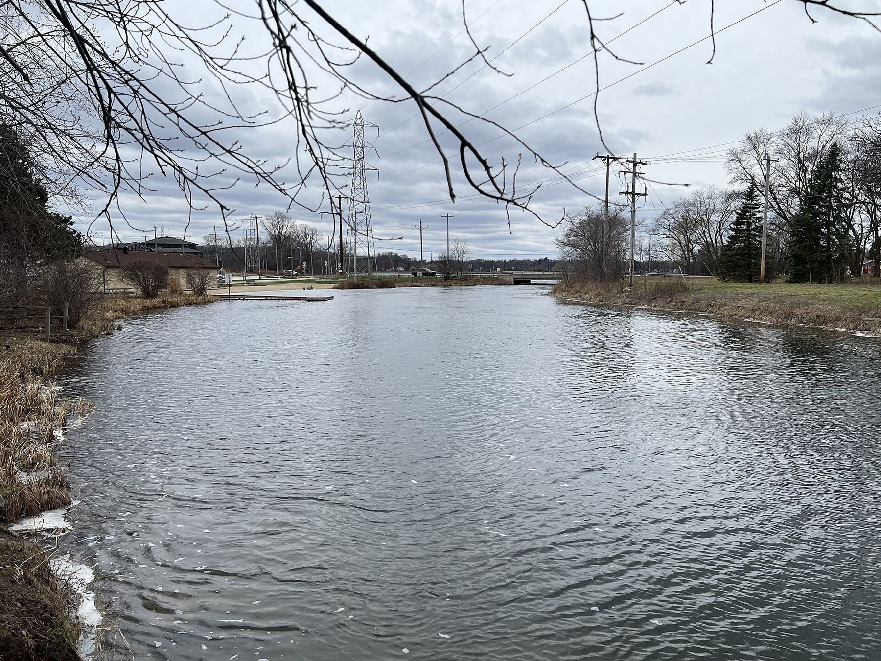
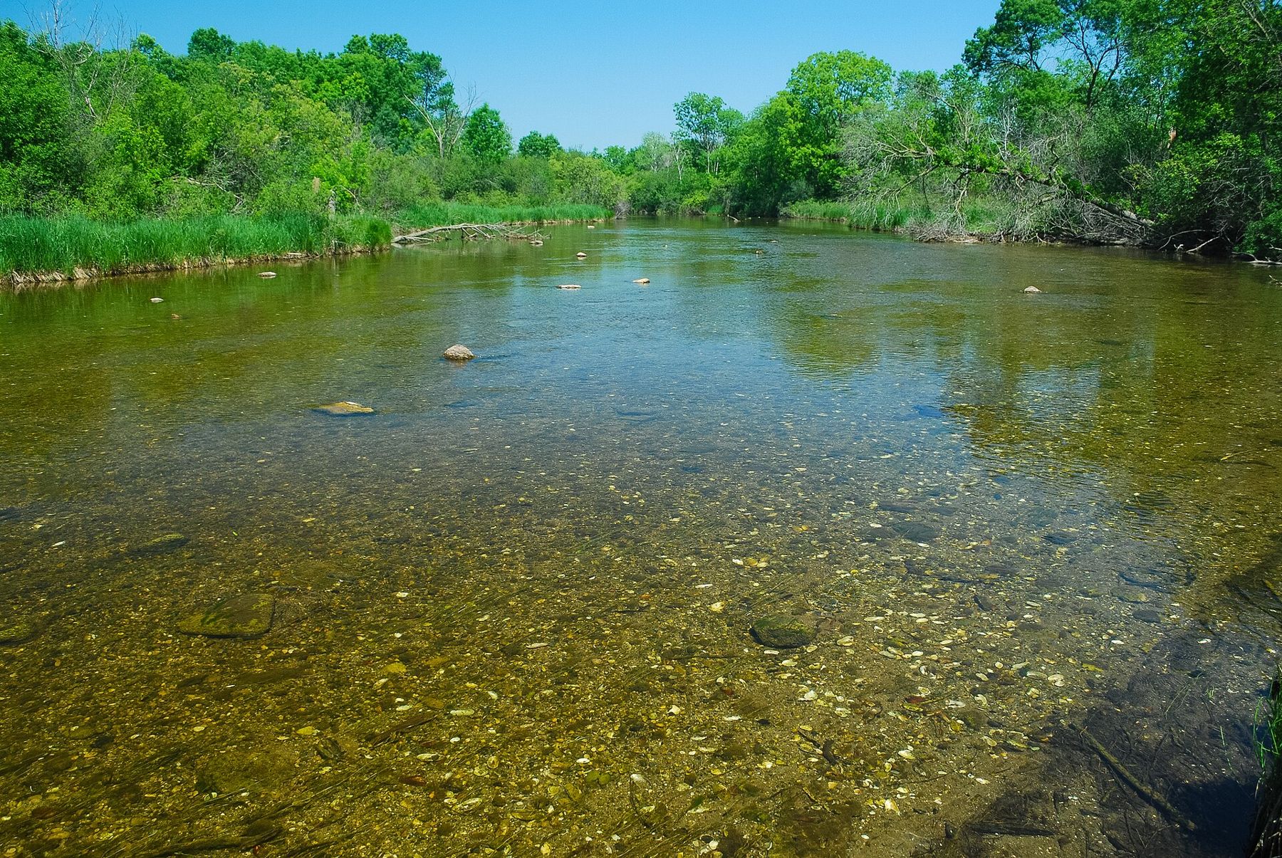
Clear water, a gravel bottom and a slow current over beds of waving plants: that is the Mukwonago River where it runs through the woods west of the village. In a part of Wisconsin crowded with subdivisions and highways, it remains one of the healthiest small rivers in the southeast of the state, with a long list of fish, mussels and plants that have vanished from most other streams nearby.
The village of Mukwonago, with several thousand people, straddles the Waukesha and Walworth county line on WIS 83, just north of I-43. It is a growing commuter town with an older center, lakes on its west side and the river running through. For you it is the gateway to the river and to the quiet lands that protect it.
How to arrive in Mukwonago
From Milwaukee, take I-43 southwest about 30 miles to the WIS 83 exit and drive north into the village; it takes about 40 minutes without traffic. From Waukesha, drive south on WIS 83 or County ES. From Eagle, drive about 10 miles east on county roads through farmland and woodlots, passing the edge of Eagle Spring Lake. From East Troy, the vintage trolleys of the electric railroad run east toward Mukwonago on their warm-season schedule, and county roads link the two villages in 15 minutes.
There is no passenger rail or regular bus to the village. Park in public lots in the village center, or at the small access points along the river.
The Mukwonago River
The river rises in the springs, marshes and lakes of the southern Kettle Moraine around Eagle Spring Lake and Lulu Lake, then runs east through woods, wet meadows and the Phantom Lakes in the village before joining the Fox River further east. It is a short river, fed largely by groundwater, which keeps it cool and clear.
That clean groundwater is the reason it is special. The river supports a remarkable variety of fish, including species that need clean water and gravel to spawn, along with many kinds of freshwater mussels and rare plants in the wetlands along its banks. Large parts of the corridor are protected as a state natural area and as part of the state forest. Our page on the Mukwonago River goes into the river's ecology in more depth.
The Mukwonago River Unit
West of the village, the Mukwonago River Unit of the Kettle Moraine State Forest protects land along the river and its tributaries. It is one of the least developed parts of the forest: few buildings, few marked trails, and wide areas of oak woods, old fields, prairie restorations and wetland.
That makes it a place for quiet walking rather than a set loop. Park at one of the access points, follow the mown paths and old farm lanes, and keep to the edges of the wet ground. Bring a map and a phone with a downloaded map, since signage is sparse. Hunting is allowed in season, so wear blaze orange in the fall and check the hunting season dates before you go.
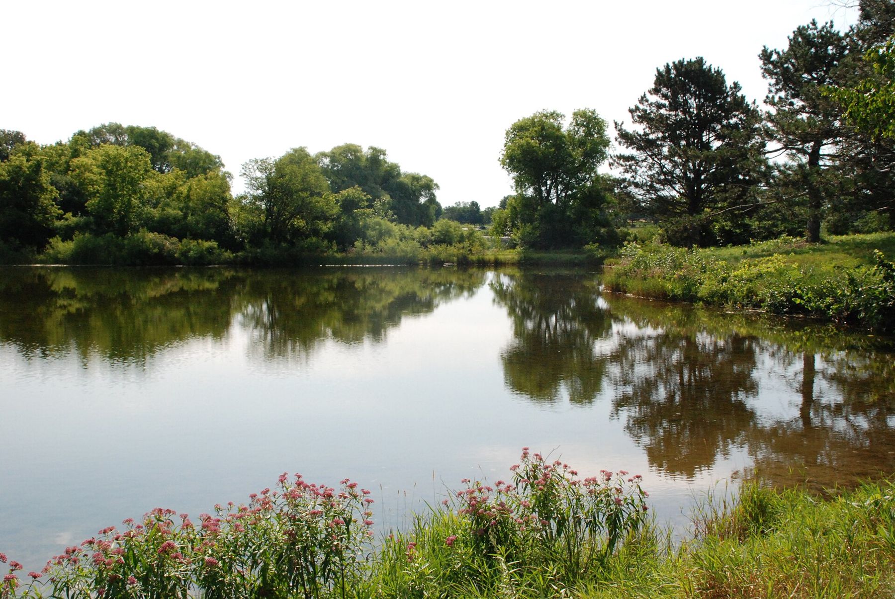
The unit links to the larger Southern Unit to the west near Eagle, and to Lulu Lake and Eagle Spring Lake, so you can make a day of driving between access points and walking short sections of each.
Paddling the river
The Mukwonago is a small, intimate paddle: narrow, winding, with tight bends, overhanging trees and the occasional fallen log. On a clear day you can see fish over the gravel and the beds of plants swaying beneath the canoe. Paddle slowly and quietly and you may see herons, kingfishers and turtles at close range.
It is not a beginner river in every season. Logjams shift from year to year, and portages around them can be muddy and steep. In late summer the water can be too low; after heavy rain the current pushes boats into strainers. Check water levels and recent reports before you go, wear a life jacket, and plan your take-out before you launch. Respect private land along the banks; the river is open to paddle, but much of the shore is not open to walk.
Clean, drain and dry your boat before and after. Invasive plants and animals ride in on hulls and gear, and this river has more to lose than most.
Fishing
Anglers come to the Mukwonago for its variety rather than for big fish. Smallmouth bass, northern pike and panfish live in the deeper runs and in the lakes along the river, and the clear water lets you watch fish take a lure. Wade carefully: the gravel is easy walking, but soft muck lies along the edges and in the backwaters, and mussel beds should not be trampled.
You need a Wisconsin fishing license, and special rules may apply on parts of the river and on the lakes. Check current regulations before you go, and practice catch and release on the river itself to keep it the way it is.
The village and nearby
The village center has the usual services: groceries, gas, restaurants, coffee and taverns. The Phantom Lakes on the west side of the village are popular for fishing and boating; access is limited, so look for public launches.
East Troy and its electric railroad are a short drive southwest; see our East Troy page. Eagle and the main trails of the Southern Unit lie about 10 miles west; our list of short hikes near Eagle picks the easiest to fit into a half day.
When to go
Late May and June are best for paddling, when water levels are usually good and the woods are fresh. September and early October bring clear water, fewer bugs and color on the oaks. Winter is quiet; the unit's old lanes make easy snowshoe walks, and the river runs open in places even in deep cold because of the springs that feed it.
Whatever the season, stand on a bridge over the river for a few minutes before you leave and look down. On a sunny day you can count the stones on the bottom.