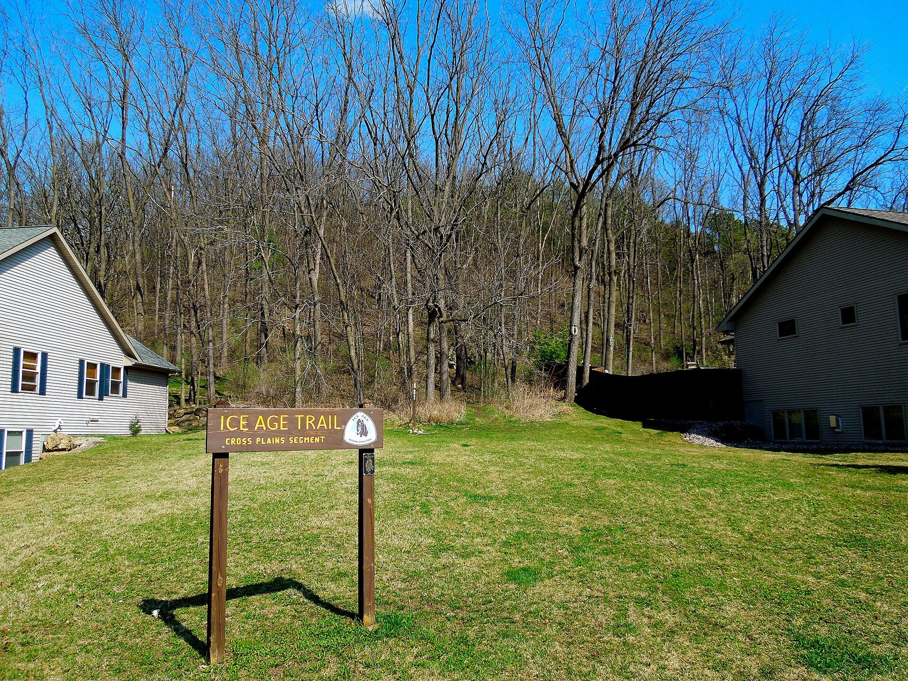
A yellow blaze painted on an oak at the edge of a field near Eagle is part of a line that runs, with breaks, from the shore of Lake Michigan to the St. Croix River on the Minnesota border. The line follows the farthest reach of the last ice sheet across Wisconsin, and almost every mile of it was argued for, negotiated and dug by hand. The Ice Age Trail is the work of one idea and many thousands of volunteers.
The idea
In the 1950s, Raymond Zillmer, a Milwaukee lawyer and keen hiker, began to argue that the glacial landscape of Wisconsin deserved national protection. He had walked the long trails of the eastern United States and saw no reason Wisconsin could not have one of its own. His idea was a long, narrow park that would follow the moraines and other landforms left by the last glaciation, linked by a continuous footpath.
Zillmer promoted the plan in print and in person, and in 1958 he and other supporters founded an organization to push for it. He died in 1960, before most of the trail existed, but the idea outlived him. The organization he started grew into the Ice Age Trail Alliance, which still builds and maintains much of the trail today.
A reserve, then a trail
Zillmer's original vision of a single long national park was never adopted. Instead, Congress created the Ice Age National Scientific Reserve in 1964, a set of separate units across the state that protect the best examples of glacial landforms. One of those units lies in the Kettle Moraine. The reserve kept the science at the centre, but it did not create a trail.
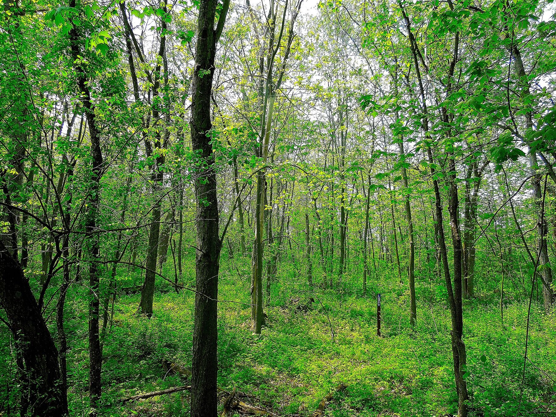
Volunteers kept building the footpath anyway, segment by segment, on state forest land, in county parks and across private farms where owners agreed. In 1980, Congress designated the Ice Age Trail a National Scenic Trail, making it one of a small number of such trails in the country, and one that lies wholly inside Wisconsin. Wisconsin later named it a state scenic trail as well.
How the trail gets built
National Scenic Trail status did not come with a finished path. The trail is planned at roughly 1,200 miles, and from the start it has been built by partnership: the National Park Service oversees it, the state and counties provide much of the land, and the volunteer alliance does a great deal of the planning, land negotiation and construction.
Volunteer chapters cover different parts of the state. They clear brush, build stone steps, set boardwalks across wet ground, cut new tread through woods and paint blazes. Larger projects bring crews together for days of work on a single segment. Where the trail cannot yet cross private land, it follows connecting routes on quiet roads until a permanent path can be secured.
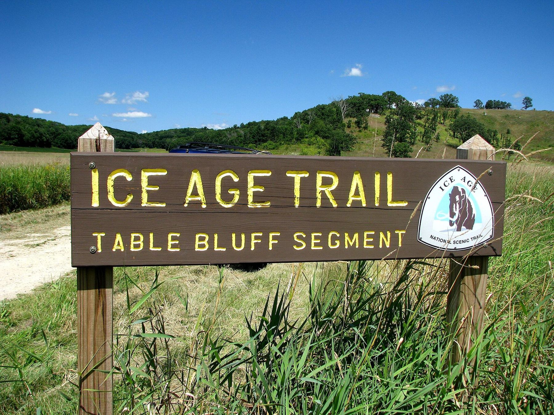
The result is a trail that grows a little every year. Well over half of it now runs on dedicated off-road footpath, through forests, prairies, farm edges and towns, with connecting routes linking the gaps. Some hikers walk the whole length in a single season. Many more complete it in pieces over years, and the alliance recognizes those who finish all of it.
The people on the trail
The trail has always depended on people giving time. Landowners have granted permission or easements so that hikers can cross fields and woodlots. Local chapters of volunteers look after their own stretches, often for decades, and many of them know every switchback and footbridge by heart. Crews of volunteers travel around the state to build major new segments, sometimes camping on site for a week at a time while they work.
Towns along the route have joined in too. A number of them have been recognized as Ice Age Trail communities, places where hikers can find food, lodging and supplies, and where the trail is part of local life. In those towns the path may run along a main street before heading back into the woods.
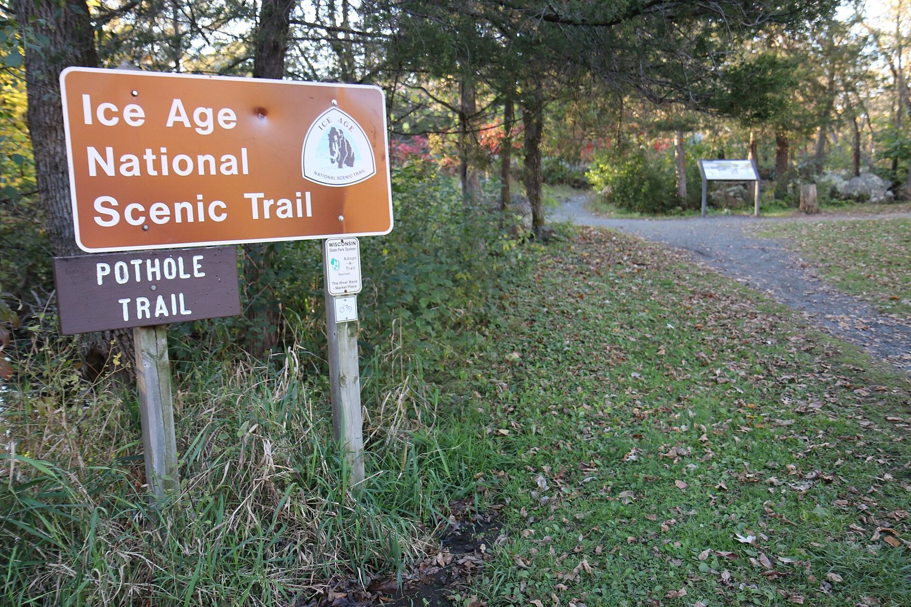
The trail is open to hikers year-round, and many segments are used by snowshoers in winter. Bicycles and horses are generally not allowed on the footpath itself, though some segments share routes with other trails. Rules vary by land manager, so read the posted signs at each trailhead.
From end to end
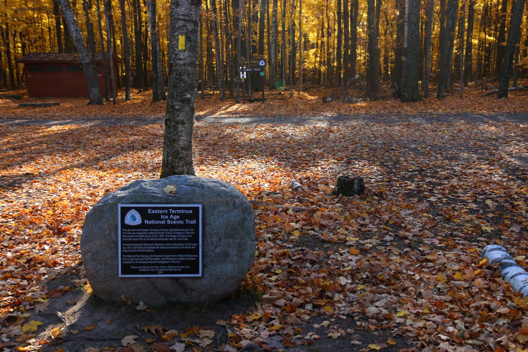
The eastern end of the trail lies at Potawatomi State Park on Door County's Sturgeon Bay. The western end is at Interstate State Park, where the St. Croix River cuts through dark volcanic rock at the Minnesota line. Between them the trail bends south through the Kettle Moraine, swings west across the southern counties, turns north through the centre of the state and crosses the northern forests.
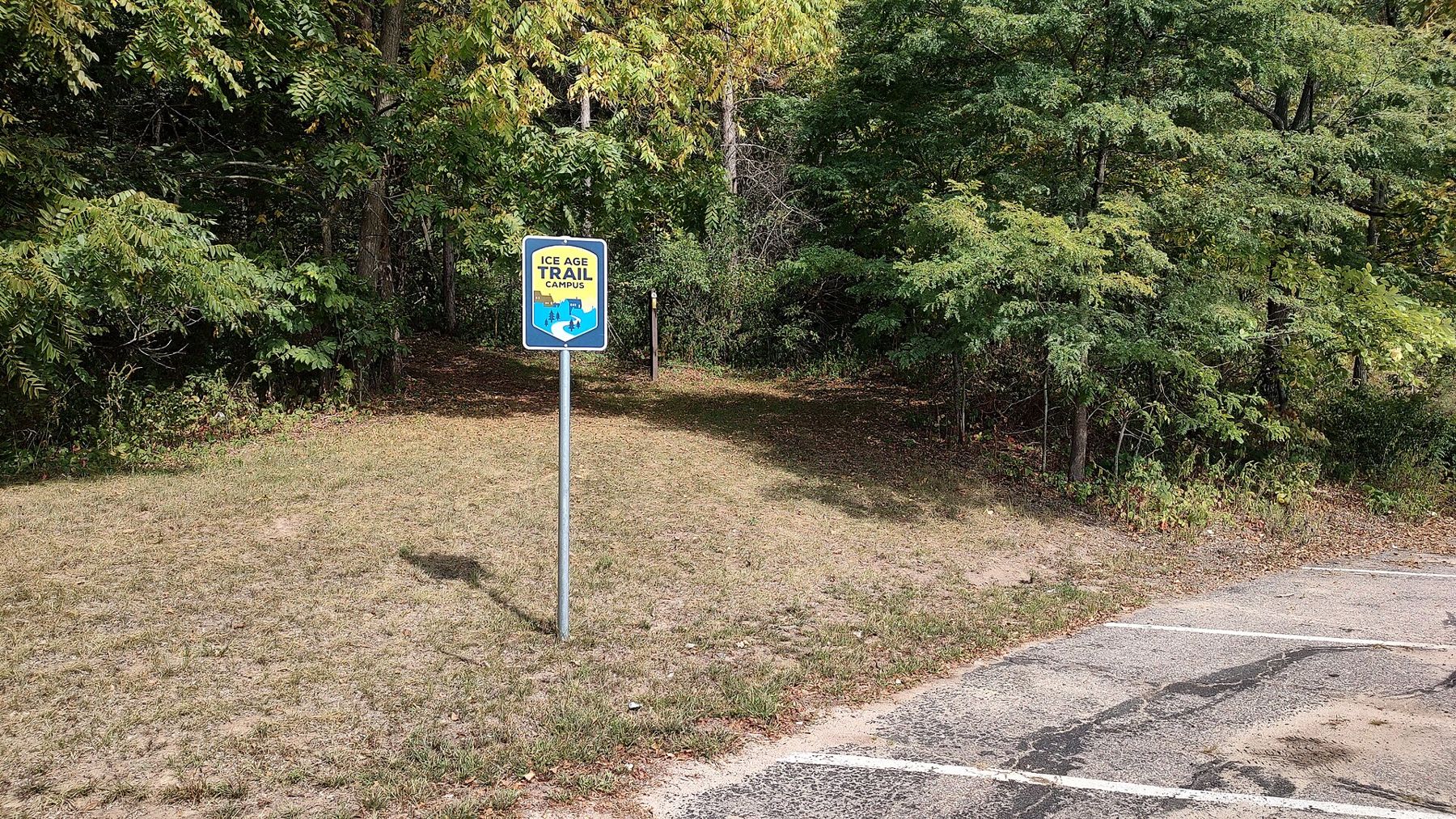
Along the way it passes kettle lakes, eskers, drumlins, gorges cut by meltwater and the edge of the driftless country that the ice never reached. It goes through small towns too, and some segments use sidewalks and village streets, which is part of the trail's character. It even crosses a college campus.
Why the route matters
The trail does more than connect pretty places. Because it follows the edge of the last glaciation, a hiker who walks it end to end sees almost every kind of glacial landform in the state, in order. It works as a long outdoor lesson in how the ice shaped Wisconsin, and that was Zillmer's point from the beginning.
It also protects land. Every permanent segment needs a corridor, and over the years the alliance, the state and local partners have bought land and easements to secure it. Those corridors protect woods, wetlands and prairie remnants that might otherwise have been divided up.
Walking it today near Eagle
The southern Kettle Moraine holds one of the longest continuous stretches of the trail in the state, running through the forest from the Whitewater area north past Eagle toward Delafield. It is a good place to start if you have never walked the trail.
Begin with a short segment. Park at a trailhead off Highway 67 or County ZZ and walk an hour out and an hour back, watching for the yellow blazes. Read our guide to the Ice Age Trail in the southern unit for trailheads and distances, or try the gentler stretch through Paradise Valley.
Look at the ground under your feet. The trail follows the glacial edge on purpose, and every climb and dip is a landform the ice made. Our page on how the glaciers made the Kettle Moraine explains what you are walking on.
Bring a map rather than relying on phone signal, which is patchy in the moraine. State forest rules, including trail passes and parking fees, apply to some trailheads; check before you go.
Then give something back. Join a volunteer work day with the local chapter, or simply carry out litter you find. The path you are walking exists because people did exactly that, one season after another.