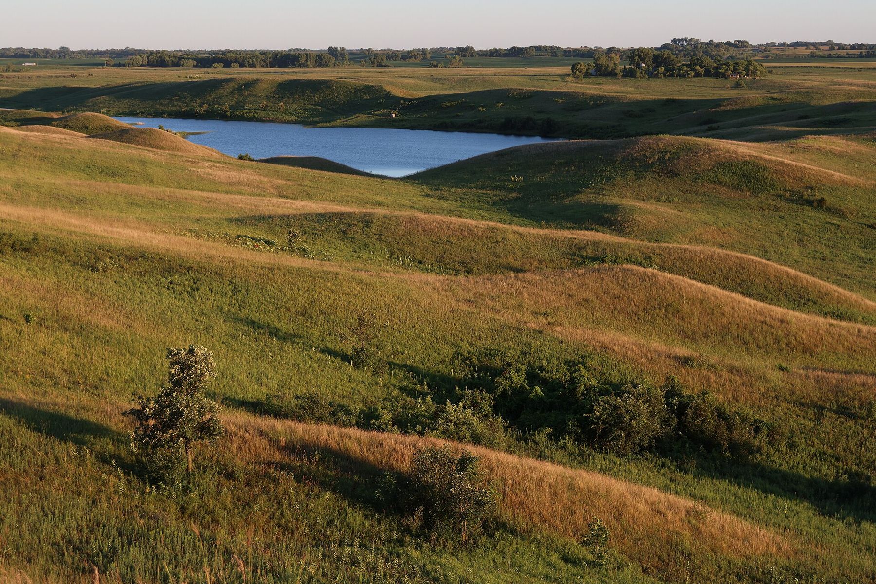
Pick up a stone from a trail in the southern Kettle Moraine and turn it over. It is round, smoothed, and very often not the same rock as the stone beside it: pink granite, dark basalt, grey limestone, white quartz. None of them formed here. They rode south inside a sheet of ice, and when the ice melted they were left behind in heaps, ridges and holes that now make up the hills between Eagle and Holy Hill.
The last ice
Wisconsin has been glaciated many times, but the landforms you walk on near Eagle were shaped by the most recent advance, which geologists call the Wisconsin Glaciation after the state where its features are so clear. Ice spread south out of Canada, reached its greatest extent in Wisconsin somewhere around twenty thousand years ago, and then melted back over several thousand years. By roughly thirteen thousand years ago the ice had left this part of the state.
The ice did not move as one smooth sheet. It flowed in lobes, tongues of ice that followed low ground. Two of them matter here. The Green Bay Lobe pushed southwest through the Fox River lowland, and the Lake Michigan Lobe filled the basin that now holds the lake and pushed south and west from it. Between them lay a long seam where the two lobes met.
A ridge between two lobes
Where the two lobes pressed against each other, meltwater poured into the gap between them. It carried sand, gravel and cobbles, and dropped them in a long, rough band that runs roughly north to south through eastern Wisconsin. That band is the Kettle Moraine. Because it formed between two lobes rather than at the front of one, geologists call it an interlobate moraine.
The result is not a single ridge but a belt of jumbled, hummocky ground several miles wide in places, stretching well over a hundred miles from near Kewaskum in the north toward Whitewater in the south. The two units of the state forest protect large parts of it, and the Ice Age Trail through the southern unit follows its crest for long stretches.
Kettles, kames and eskers
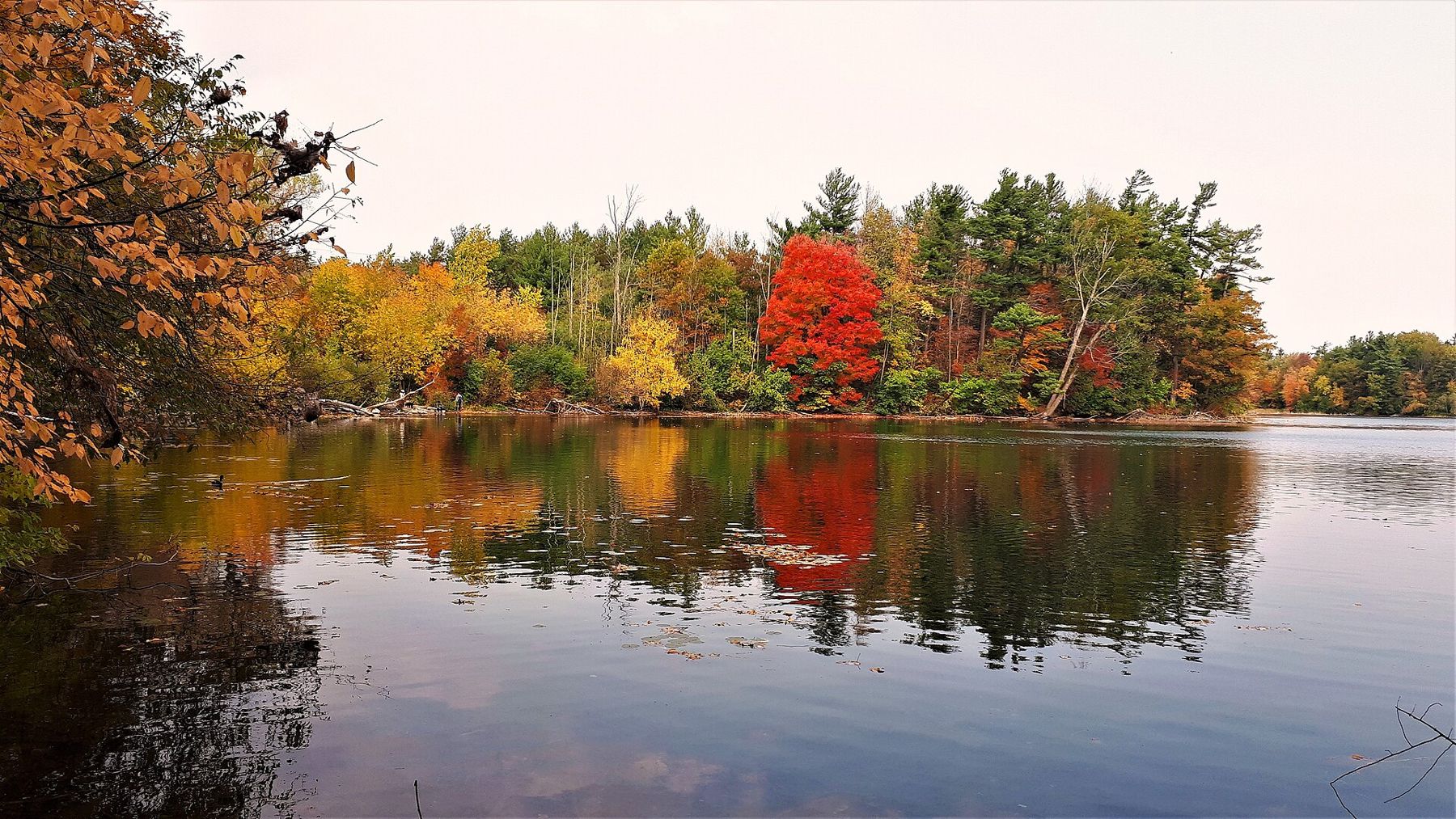
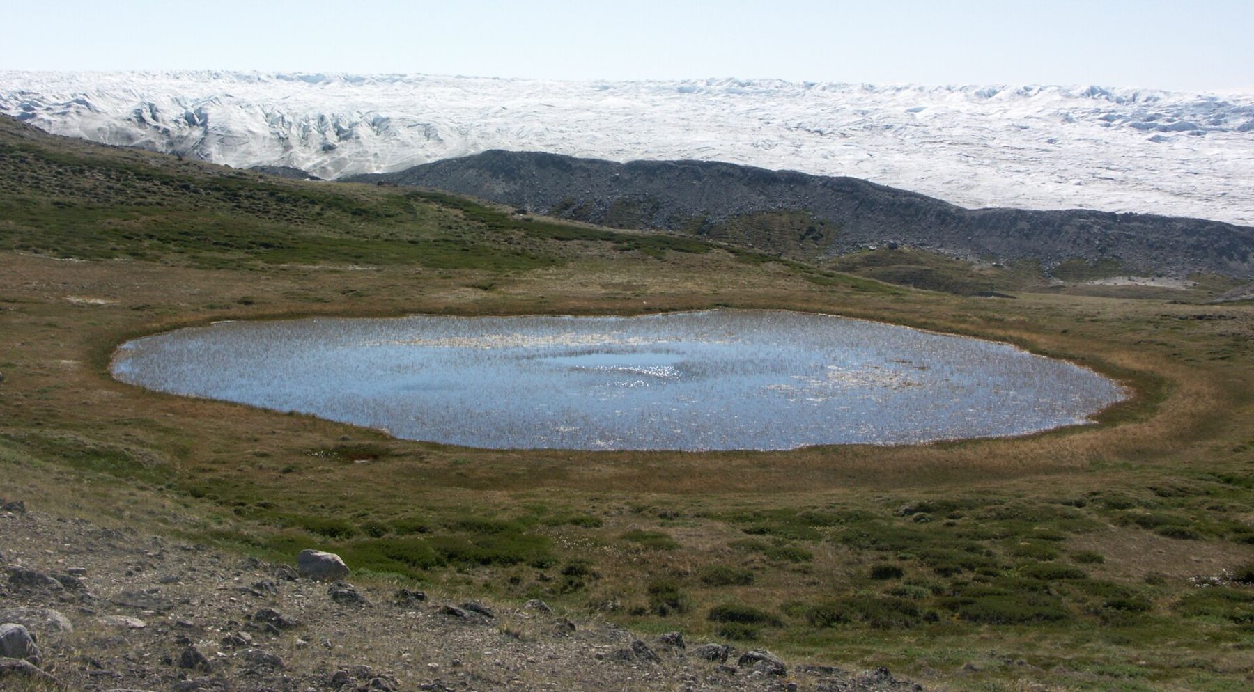
The name of the moraine comes from its kettles. When the ice melted back, large blocks broke off and were buried in outwash gravel. Over years or centuries those buried blocks slowly melted, and the ground above them collapsed into round or oval hollows. Some kettles are dry bowls in the woods. Others hold water and became the small, deep, steep-sided lakes that dot the forest. Many of the small lakes and ponds in the forest near Eagle sit in kettles.
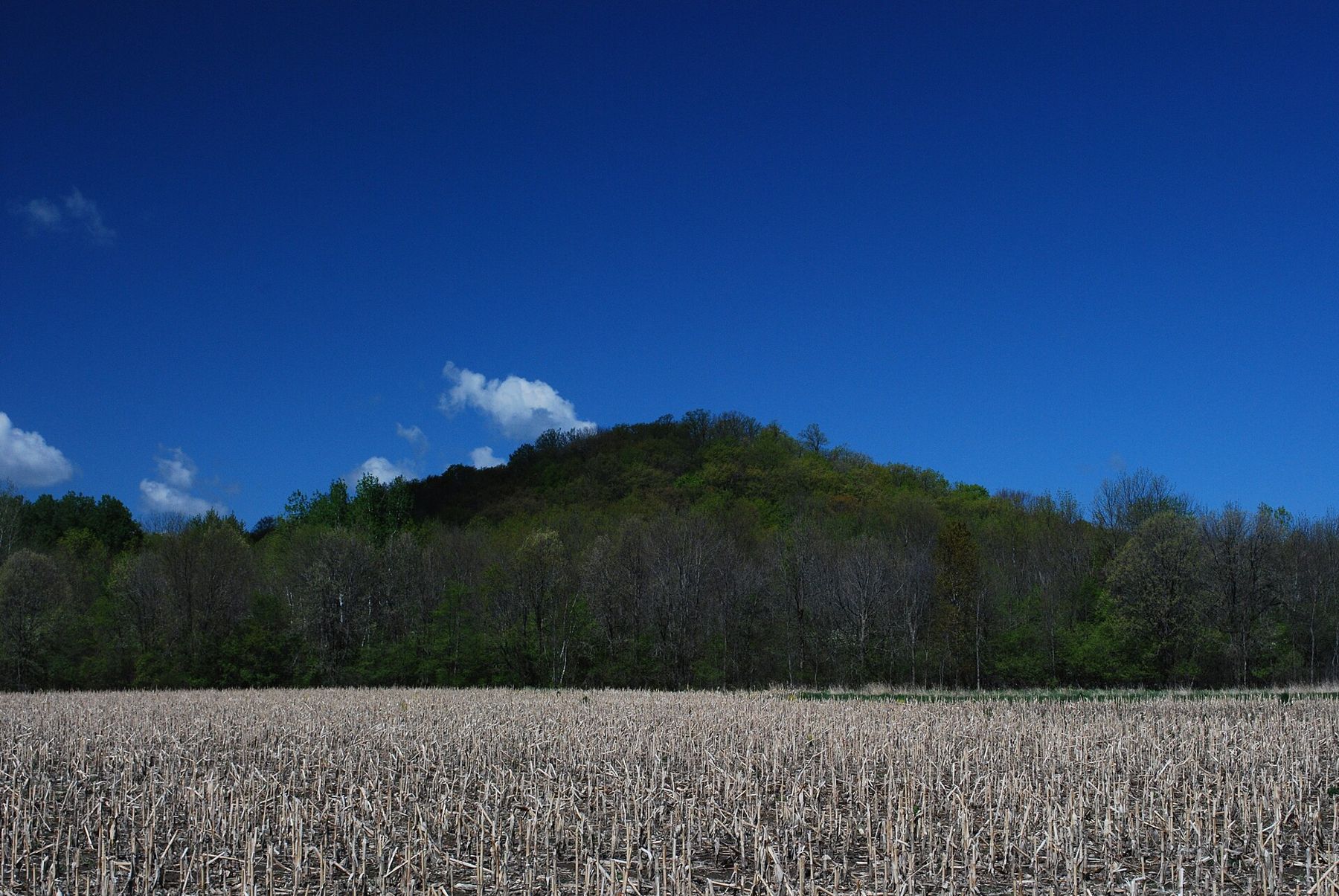
Kames are the opposite shape: steep, conical hills of sorted sand and gravel. They formed where meltwater poured down a hole or crack in the ice and dropped its load in a pile, or where sediment filled a pocket against the ice. When the ice around it melted, the pile was left standing. Holy Hill, the highest point in the region, is usually described as a kame or a cluster of kame deposits. So are many of the round hills you climb on the John Muir and Emma Carlin trails.
Eskers are long, winding ridges of sand and gravel, often only a few dozen feet high. They mark the beds of rivers that once ran in tunnels under or inside the ice. When the ice melted, the river's gravel bed was left as a ridge, snaking across the land like a railway embankment that nobody built. Several short eskers run through the southern Kettle Moraine, and trails often follow their crests because the walking is dry.
Elsewhere you will find outwash plains, flat spreads of sand laid down by meltwater beyond the ice, and moraine ridges of unsorted till, a stiff mixture of clay, sand and boulders dropped straight from the ice. The difference matters to anyone walking: outwash drains fast and stays firm, while till holds water and makes spring mud.
What the ice left for later
The ice did more than shape hills. It decided where water would sit, where soil would be rich and where it would be thin, and so it decided much of what came after. The flat outwash plains and till plains on either side of the moraine became farmland. The steep, gravelly moraine itself was cut over for timber, grazed, and in many places left alone, because it was too hard to plough.
The kettle lakes became the summer lakes of Lake Country. Their cold, deep water and steep shores are the reason so many of them hold good fishing, and why so few are large. The gravel the ice sorted is still mined in pits across the region, and you will pass working pits on the county roads.
Even the oak openings that early settlers found, open groves of bur oak over prairie grass, grew on dry glacial soils kept open by fire. Walk through a restored oak opening south of Eagle and you are on ground the glacier made and fire kept.
The people who read the hills
Settlers in the 1840s knew the ground was strange. Its hills were too steep to plough and its gravel too dry for crops, which is one reason so much of the moraine stayed wooded and later became state forest. Increase Lapham, the Milwaukee naturalist who mapped and described much of early Wisconsin, recorded the region's hills, lakes and mounds in his surveys. The high point near Delafield that now carries his name, Lapham Peak, sits on the moraine.
Later in the nineteenth century, geologists working in Wisconsin used the Kettle Moraine to explain how the continental ice sheets moved and melted. The landforms here became a teaching ground, and the terms used to describe them spread into textbooks. That reputation is part of why the moraine was chosen for a unit of the Ice Age National Scientific Reserve, and why the Ice Age Trail runs along it.
Where to see it today
Start on high ground. Climb the tower at Lapham Peak on a clear day and look south and west. The rumpled belt of wooded hills running away from you is the moraine; the flatter farmland on either side is where the lobes themselves lay.
Then walk into a kettle. On the Ice Age Trail south of Highway 67, the path drops into dry kettle bowls and climbs out again every few hundred yards. Stand at the bottom of one and look at the rim: you are standing where a block of ice once lay buried.
Climb a kame. The hills on the John Muir trails, or the summit at Holy Hill, show the steep sides and rounded tops that mark sorted gravel. Look at any fresh cut on a road bank and you will see the layers of sand and pebbles that meltwater laid down.
Follow an esker. Ask at the forest headquarters near Eagle which trails follow an esker, and walk its crest with low wet ground on both sides.
Go in late autumn or early spring. With the leaves off, the shapes come through the trees clearly, and the light low in the sky picks out every hollow.