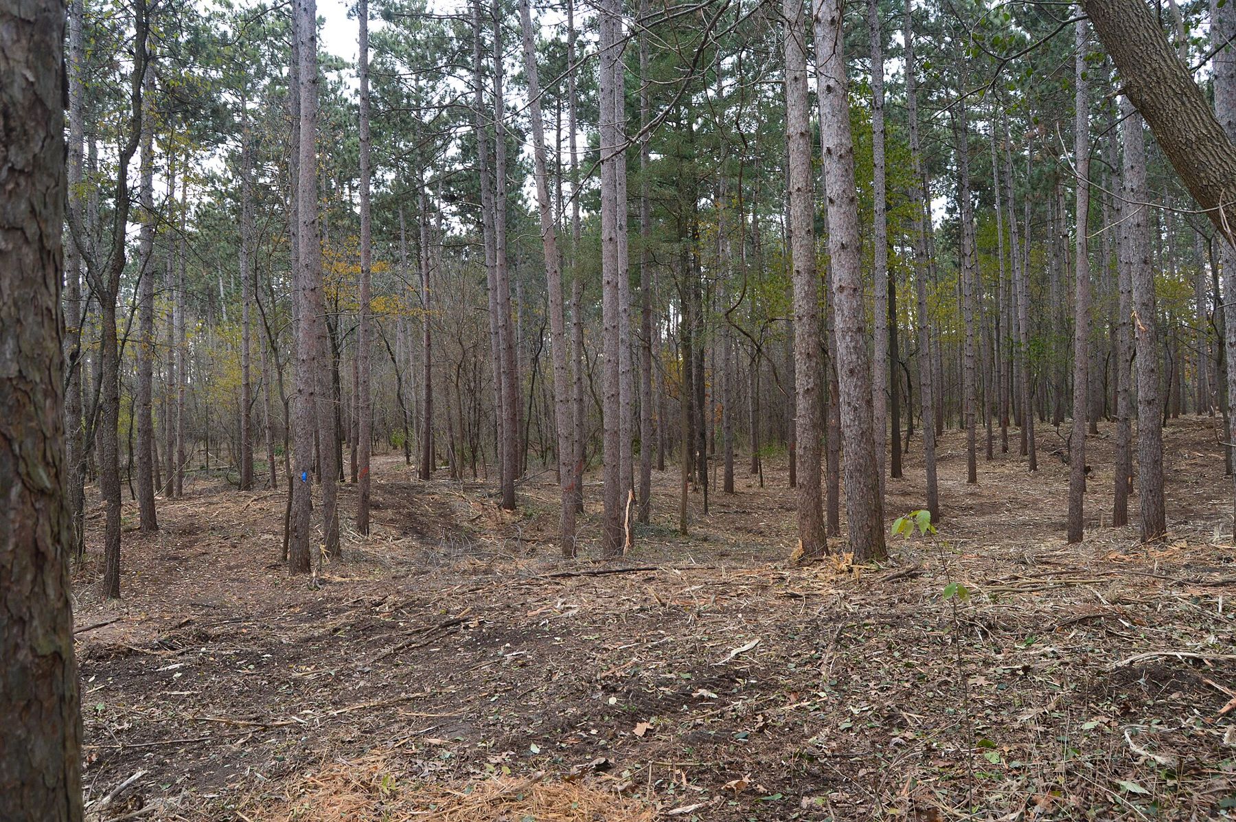
Start north and walk south. The Ice Age National Scenic Trail runs through the Southern Unit of the Kettle Moraine State Forest on a long diagonal, from the pine plantations off County ZZ near Eagle down to the lake country around Whitewater. Walked in that direction, the ground grows steadily more open, and you finish near water.
This is the same ridge of glacial gravel that gives the forest its name: the moraine left where two lobes of ice pushed against each other and then melted in place. The trail stays on it most of the way, so expect short, steady climbs and descents rather than long ones. Few hills top a hundred feet from base to crest, but there are a lot of them.
The route, north to south
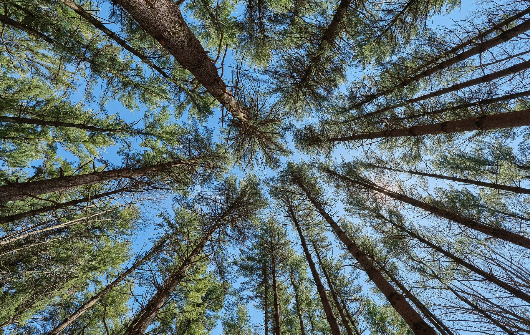
- Scuppernong trailhead Park off County ZZ, a few miles north of Eagle. The Ice Age Trail shares tread with the Scuppernong loops here, so watch for the yellow blazes where the coloured ski markers split away. The first miles wind through tall red and white pine planted decades ago, with a soft needle floor underfoot.
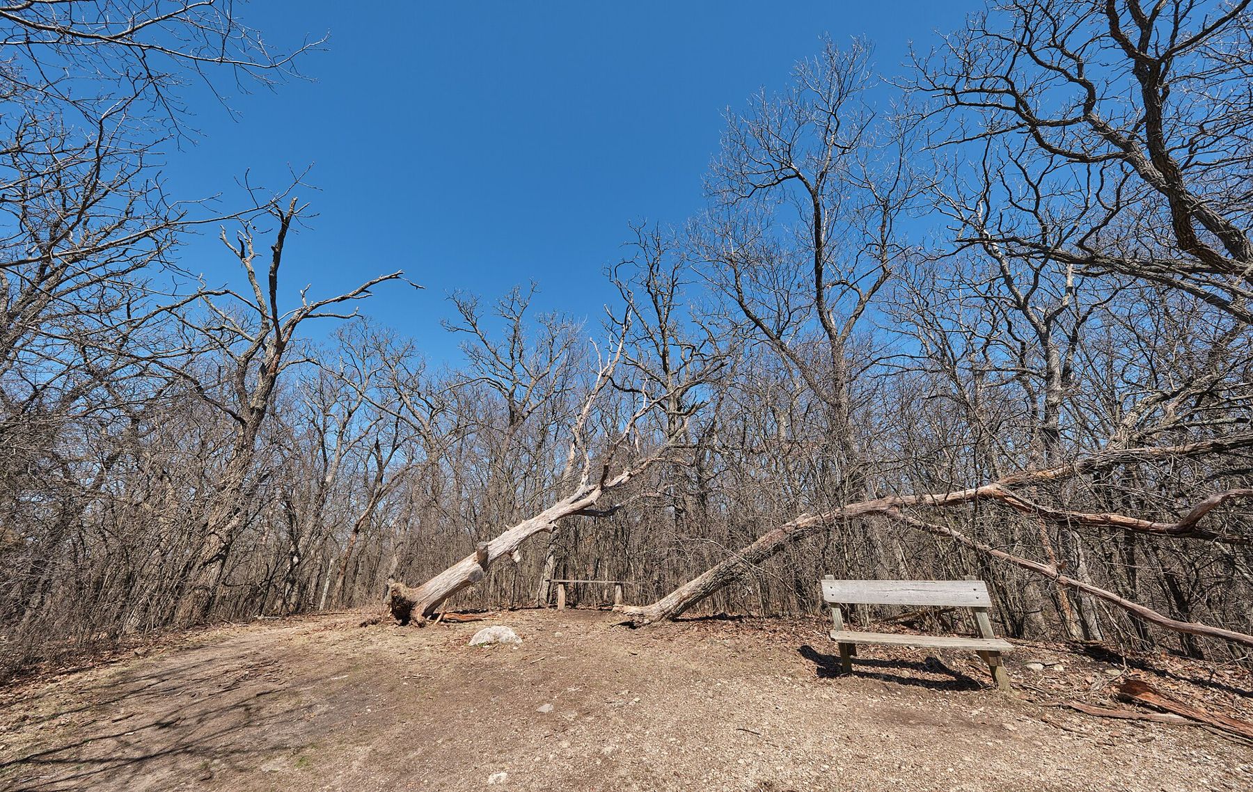
- The overlook bench Not far in, the trail climbs onto a high shoulder with a bench and a long view across the treetops. It is the best early place to stop for water. In late October the oaks below turn rust and the pines stay dark, so the colours separate clearly.
- Kettle country west of Eagle South of the pines the trail drops into mixed oak and hickory and begins skirting kettles: round, steep-sided hollows where buried ice blocks melted out and the gravel above slumped in. Some hold standing water in spring; some are dry and filled with leaves by fall. Stay on the tread along their rims, where the sand is loose.
- Highway 59 crossing The trail crosses Highway 59 west of Eagle. Cross carefully: traffic moves fast and the sight lines are short. The forest headquarters is on this road, and it is the place to pick up a paper map and check on closures before the longer middle section.
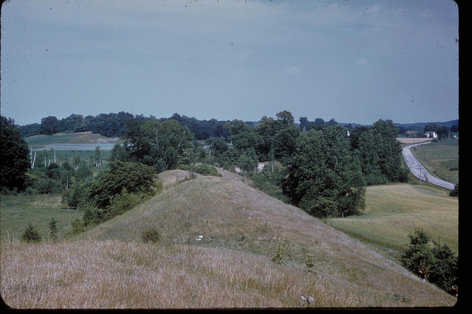
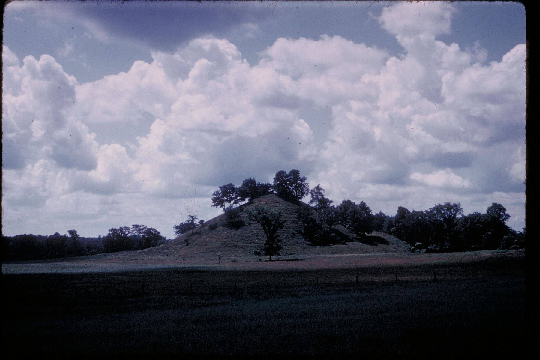
- Esker and kame ground The middle miles cross some of the clearest glacial landforms on the whole trail. An esker is a long, snaking ridge of sorted gravel laid down by a river that ran inside or under the ice. A kame is a rounder, isolated cone of the same stuff, dumped where meltwater poured down a hole in the glacier. You walk on top of the first and around the base of the second.
- Bald Bluff Near County H, the trail climbs over an open, grassy knob with one of the wider views in the forest, west across farm fields and south over the moraine. The prairie on top is kept open by cutting and burning, so you may find blackened ground in spring. Stay on the path: the slope is thin soil over gravel and erodes quickly.
- Whitewater Lake The southern end of the forest section brings you down toward Whitewater Lake and the smaller lakes around it. The trail here is sunnier and sandier, with oak openings and old fields between the woods. Leave your second car near the lake and finish where you can put your feet in the water.
Distances and shuttles
The full run through the Southern Unit is a long day for a fast walker and two easy days for most people. Break it at road crossings: every county road the trail meets gives you a place to leave a car or be collected. Use the official trail atlas or the free maps at the forest headquarters to plan exact mileages; they are updated when the route is moved.
For a single-car day, walk out and back from one trailhead. The Scuppernong start gives a good four-to-six-mile out-and-back through the pines. From the south, a walk north from the Whitewater Lake area and back gives you open ground and lake views. If you want to stay out overnight, the forest has a small number of backpack shelters close to the trail, booked in advance; see our notes on the backpack shelters of the Southern Unit.
When to go
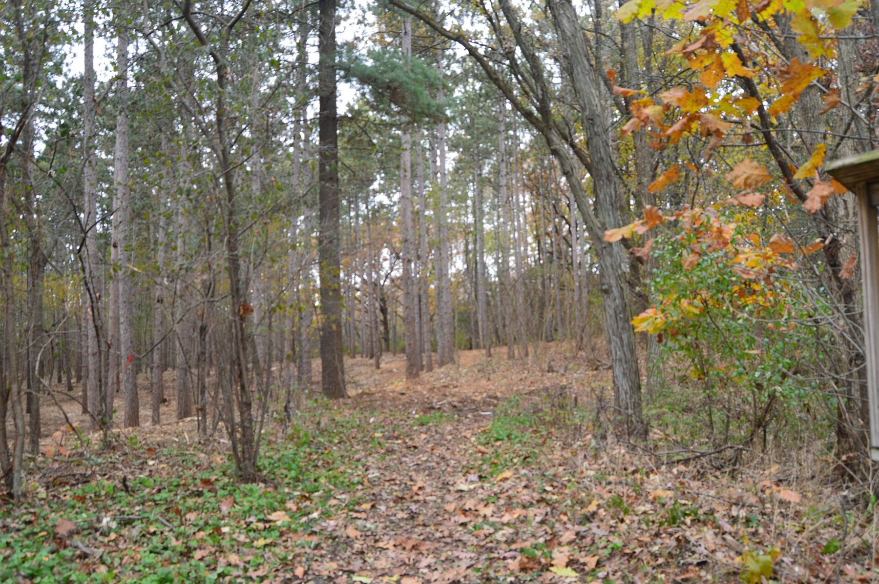
October is the obvious month: dry tread, few insects and oak colour that lasts later than the maples. Late April and May bring spring wildflowers on the north-facing slopes and loud frogs in the kettles, along with mud in the low spots. Summer is green and shaded but humid, and the deer flies are persistent in July. Ticks are present from spring through fall, so check yourself after every walk and read our notes on ticks and poison ivy before a June hike.
In winter the trail is open to hikers and snowshoers, but parts of it share ground with groomed ski trails. Where they overlap, walk to the side of the set tracks, never in them.
Underfoot
The tread is mostly packed soil and sand, with loose gravel on the steeper pitches and roots across the path in the pines. Trail runners do fine in dry months. After rain the low ground between ridges holds water, so a pair of waterproof boots helps in spring. Horses and bikes have their own trail systems nearby; the Ice Age Trail itself is for foot travel only through most of the forest.
Carry more water than you think: there are few taps between trailheads, and the springs and kettle ponds are not safe to drink untreated. Pack a paper map, a headlamp in the short days of October and November, and a layer for the wind on the open bluffs. Hunting is allowed in much of the state forest in fall. During the November gun deer season, wear blaze orange and check the forest's hunting maps before you set out.
For the story of how the trail came to be, read the Ice Age Trail story, and for the landforms themselves, how glaciers made the Kettle Moraine. Then go back to the first kettle you passed and look at it again: a hole in the ground where a block of ice the size of a barn once sat.