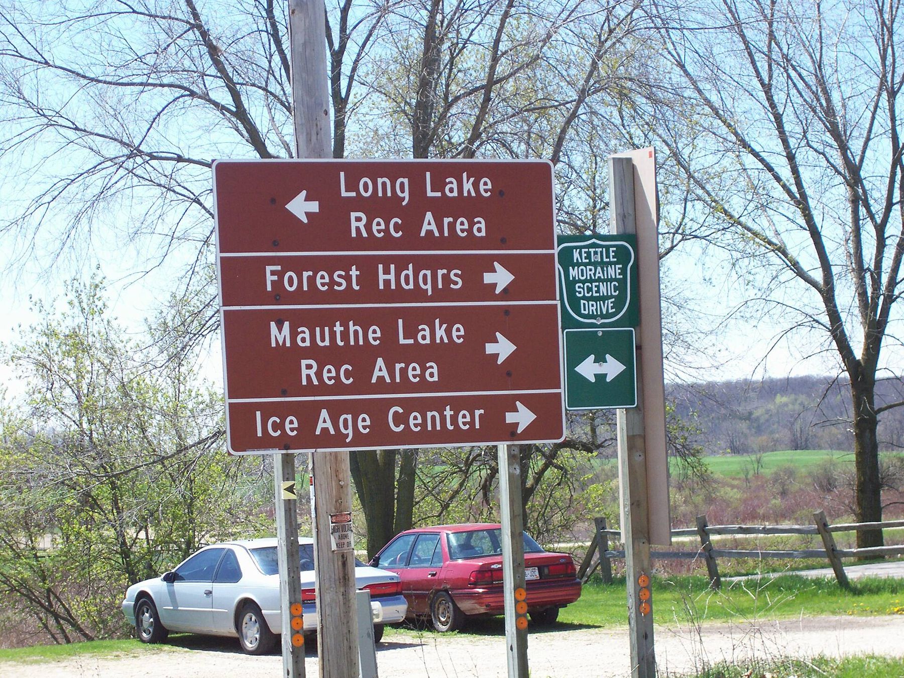
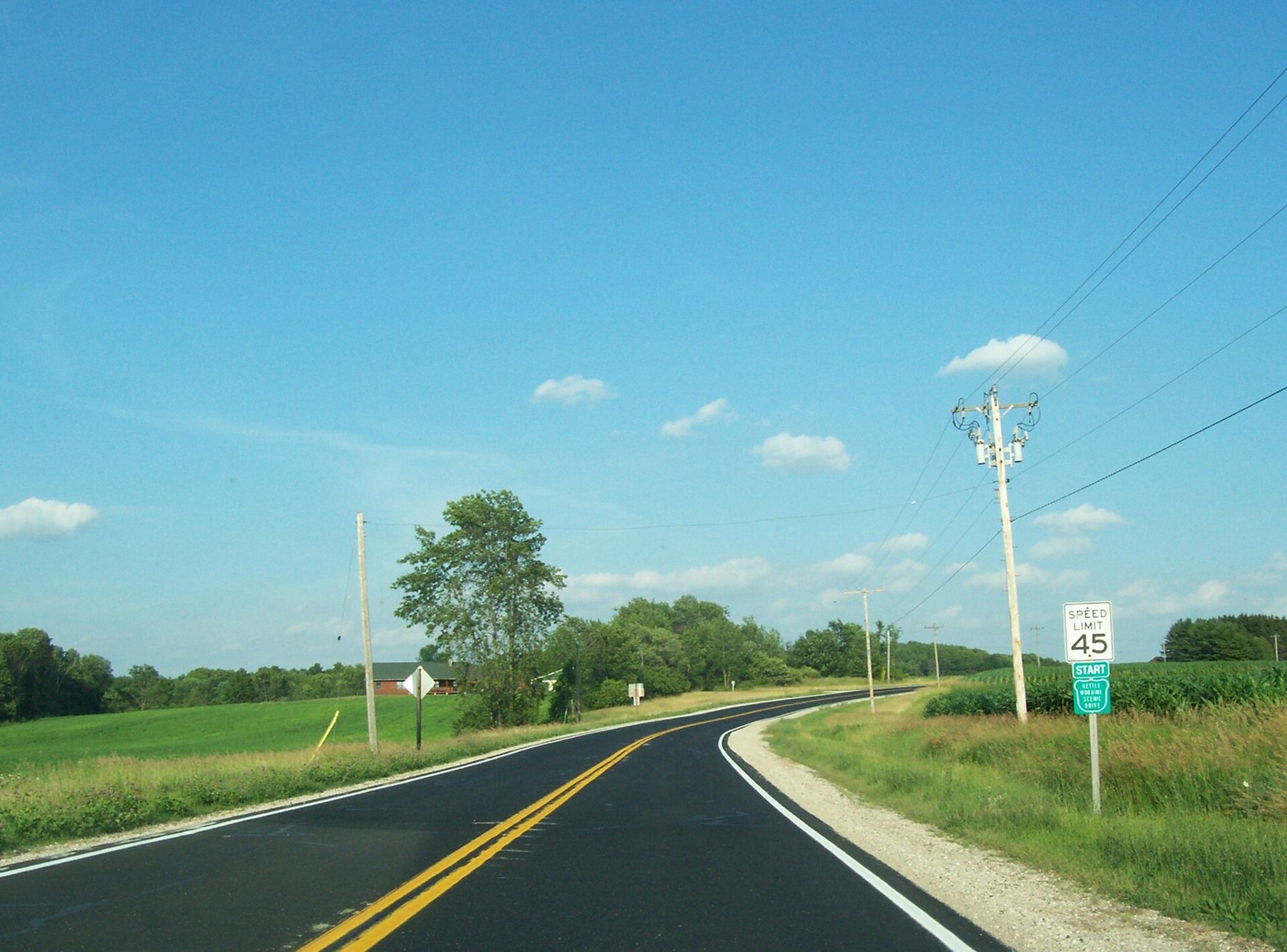
The road signs are small and green, and they tell you to turn more often than you expect. Watch for them at every crossroads. The Kettle Moraine Scenic Drive is a marked route of roughly 115 miles that follows the long ridge of glacial hills from Whitewater Lake in Walworth County north to the edge of Elkhart Lake in Sheboygan County. It is not one highway. It strings together county roads, town roads and short pieces of state highway, chosen because they stay close to the moraine instead of the shortest line.
You can drive it in either direction. We'd start in the south, where the hills are lower and the morning light comes across the oak openings, and finish in the north as the afternoon fades over the larger lakes. The stops below run south to north. Skip any of them; add any trailhead that catches your eye.
- Whitewater Lake, the south end The drive begins near Whitewater Lake, on the southwest edge of the Southern Unit of the Kettle Moraine State Forest. Park at the public lot by the lake and walk to the shore before you set off. The hills to the east are the start of the moraine you will follow all day. A campground and a beach sit on the lake, so in summer this end of the route is busy by mid-morning.
- The Southern Unit woods North and east of Whitewater Lake the road climbs into the heart of the Southern Unit, with its oak woods, kettle ponds and pine plantations. The drive passes close to La Grange, Palmyra and Eagle, and to the trailheads for the John Muir and Scuppernong trails. Pull over at any of them and walk 20 minutes in: you will see the knobs and hollows the glacier left better on foot than through a windshield. Our page on the Ice Age Trail in the Southern Kettle Moraine lists good short sections.
- Lake Country and the Loew Lake woods Between the Southern and Northern Units, the drive crosses the rolling farm and lake country of western Waukesha and Washington counties, passing near the small Loew Lake Unit along the Oconomowoc River. The road is narrow and winding here, and the farms and woods sit close together. Drive slowly; this is a stretch to enjoy rather than to cover.
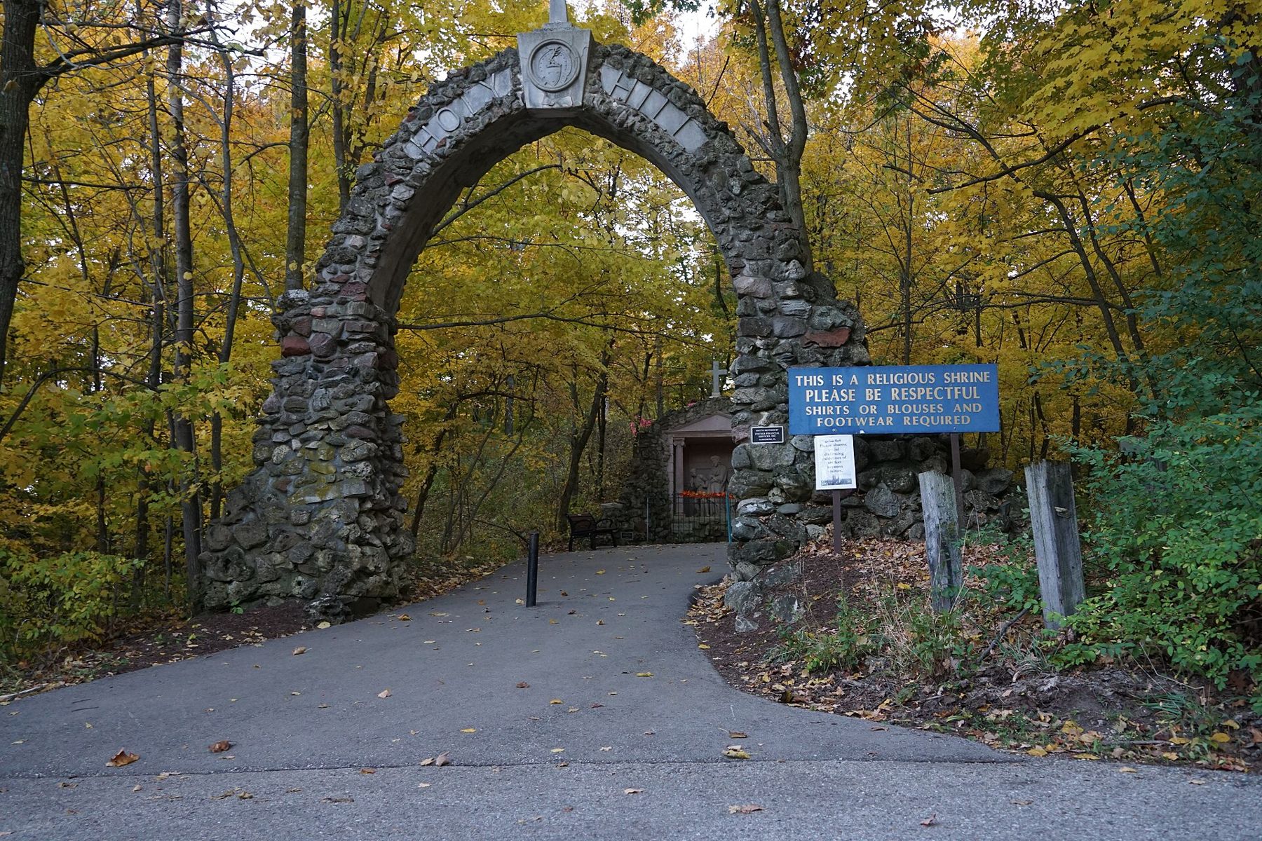
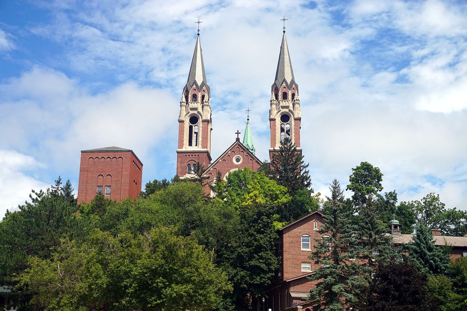
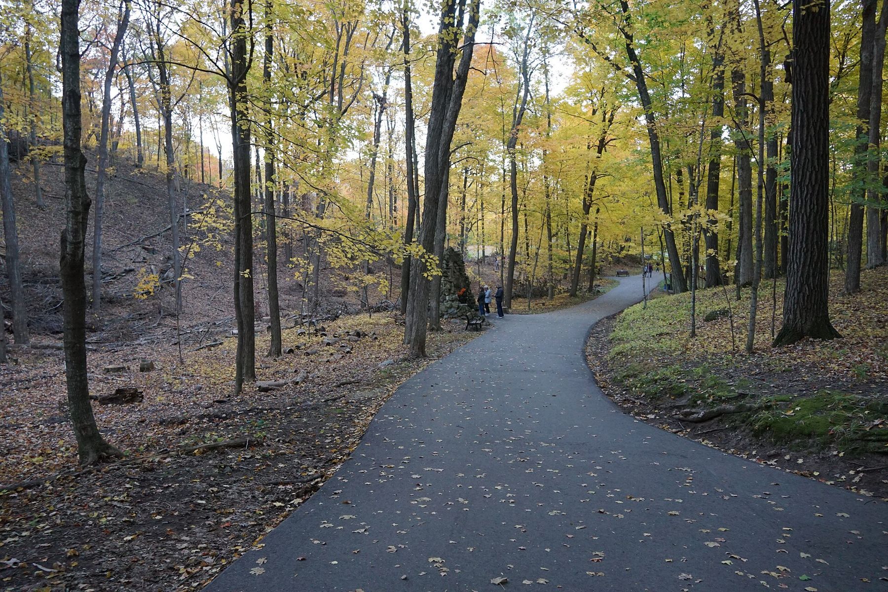
- Holy Hill The twin spires of the basilica at Holy Hill stand on one of the highest points in southeastern Wisconsin, and you will see them long before you reach them. The shrine sits just off the route; follow the brown signs. Walk through the stone archway and along the path past the stations of the cross. The grounds are a working place of worship, so keep voices low and check the times when the scenic tower is open before you plan to climb it.
- Pike Lake Unit East of Hartford the drive passes through the Pike Lake Unit, a small piece of the state forest with a swimming beach, a campground and a wooded hill called Powder Hill with an observation tower on top. It is a good place to stretch your legs halfway up the route. See our page on Pike Lake and Powder Hill for a short walk there.
- Long Lake and Dundee The road crosses into the Northern Unit of the Kettle Moraine State Forest, where the hills grow steeper and the kettles deeper. Around Dundee, brown signs point you to the Long Lake and Mauthe Lake recreation areas, the forest headquarters and the Ice Age visitor center. Stop at the visitor center if it is open; it explains the landforms you have been driving over all day.
- Parnell Tower Near the route in the northern half of the Northern Unit, an observation tower stands on one of the high ridges. You reach it on a hiking trail from a parking lot, with a steady climb at the end. From the top you look across miles of forest and farmland. Expect stairs and a breezy platform; skip it if the wind is strong.
- Greenbush The small crossroads of Greenbush, just off the route near the north end of the forest, has a state historic site built around a 19th-century stagecoach inn. Even if you do not go in, the village is a quiet place to pause before the last stretch of road.
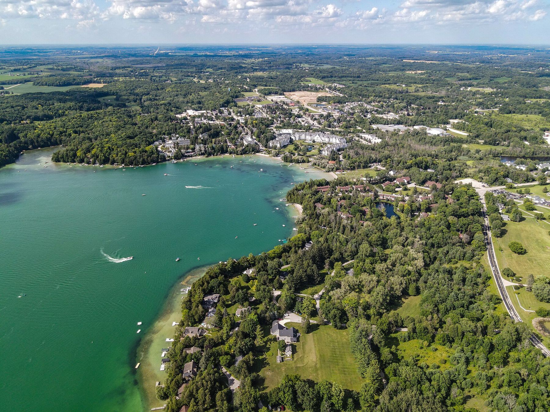
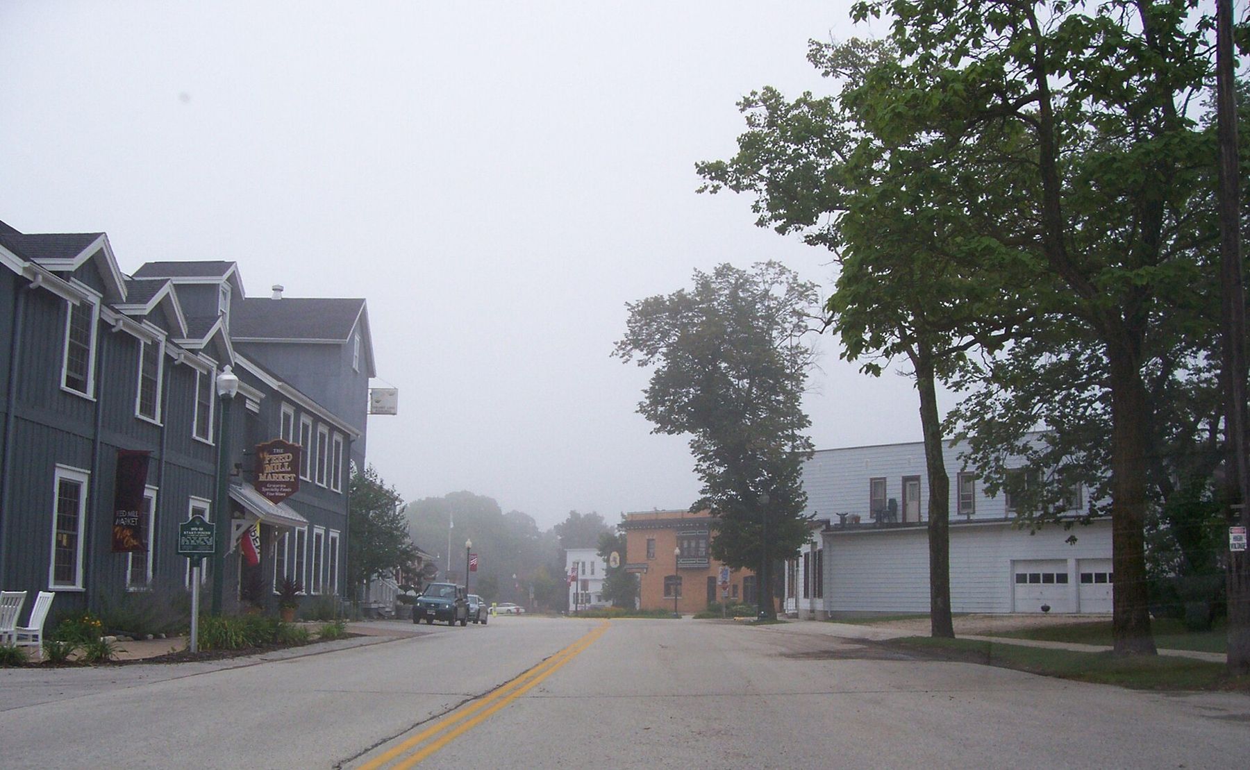
- Elkhart Lake, the north end The drive ends about a mile northwest of the village of Elkhart Lake. Drive into the village anyway. In 1951 and 1952 sports cars raced on a course laid out on the local roads, and a marker on the scenic drive shows where the start and finish line was. The racing later moved to the permanent Road America circuit outside the village. The lake itself is spring-fed and clear, ringed by old resort buildings and cottages.
When to go
Late September through the third week of October is the obvious season. The maples on the steep north slopes turn first, then the oaks on the ridges go bronze and brown and hold their leaves into November. On a clear October weekend the busy stretches near Holy Hill and Elkhart Lake fill up, so start early or drive on a weekday.
Late May and June are underrated. The woods are a dense green, the ditches are full of wildflowers and the roads are quieter. Winter driving is possible on the plowed county roads, but some side roads and parking lots are not cleared, and snow can hide the route signs. Read our notes on winter driving in rural Wisconsin before you try it in January.
Finding your way
Most of the route is signed in both directions, but a few junctions are easy to miss, especially where the drive leaves a busier road for a quiet town road. If you lose the signs, do not turn around at once. Pull over safely, check the map and pick up the route at the next county road. Mobile service drops out in some of the deeper valleys, so download the map before you go.
The roads are narrow, with tight bends and blind crests. Cyclists use many sections, and in autumn you will meet farm machinery. Slow down at the tops of hills.
Shorter versions
You do not have to drive all 115 miles. For a half day, drive the southern third from Whitewater Lake to the Scuppernong area and walk one trail. For another half day, start at Holy Hill and drive north through Pike Lake to Long Lake. The northern third, from Dundee to Elkhart Lake, has the steepest hills and makes a good afternoon on its own.
If you are coming for the leaves, our guide to fall color in the Kettle Moraine tells you which slopes turn first.
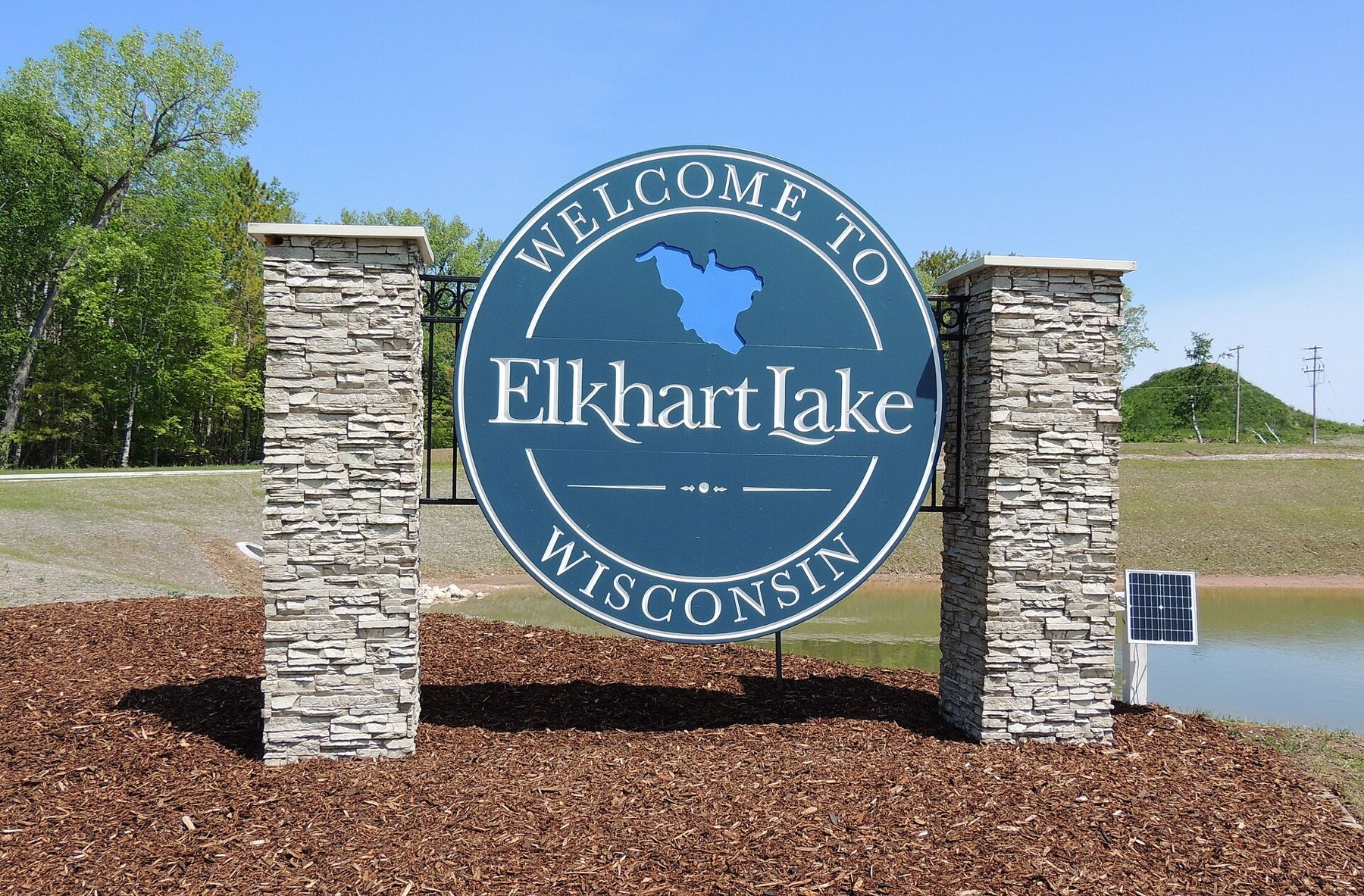
Finish at the public beach in Elkhart Lake if the light is still on the water. Walk out to the edge, look south, and remember that every hill you crossed today was dropped by melting ice.